My 4th trip to Norfork Lake was just a dayhike to collect data for the last bit of built trail that I hadn’t already covered: from the Barren Creek trail head north 3.3 miles to the Arkansas-Missouri state line.
Just 0.3 miles from the trail head is a crossing of Little Barren Creek – a simple rock-hop today. A little more than 0.5 miles later is Barren Creek – the biggest creek crossing so far on the OKT – which will usually require wading.
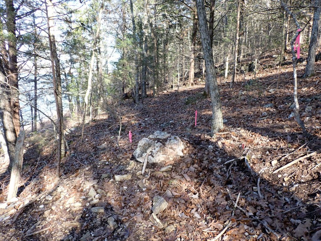
The trail then climbs just enough to get out of the lake overflow area and into the woods on the level for awhile before climbing over a ridge. The ridge looks like a good place to camp.
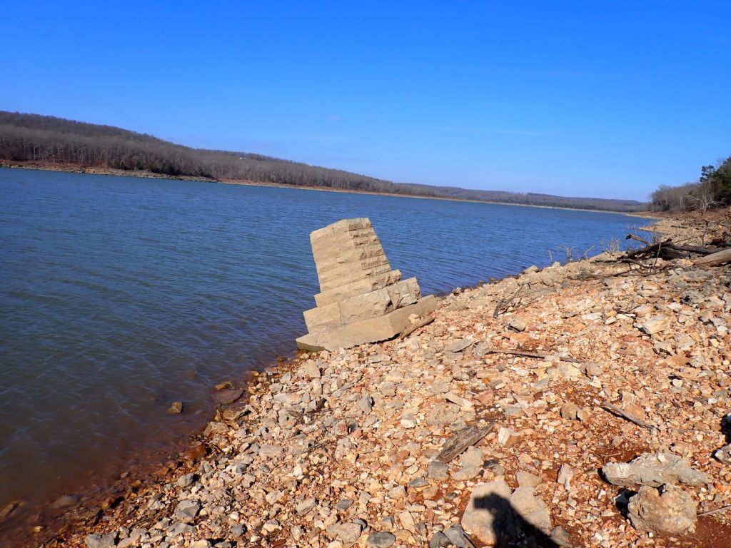
The trail drops off the ridge and across a couple small drainages and more potential camp sites, passes a spur leading down to the lake and 0.3 miles later comes to an abrupt stop at a barb-wire fence and the state line. There is a spur leading 100′ down to the lake and a monument marking the state line. There is an inscription on the lake side of the monument but getting a decent picture would have required me to stand in the water so I skipped it. Go see it yourself!
There is still a stretch of 18-20 miles in the southern area that has been surveyed and a route planned but construction funds are currently lacking. Completing that will complete the OKT in Arkansas.
North of the state line is mostly terra incognita for me. There’s 18-20 miles of trail to build there too and some bits and pieces might be done. It’s time to start researching that area.