
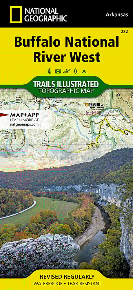
National Geographic/Trails Illustrated is now distributing 2025 editions of maps #232 & 233 for the Buffalo National River. If buying retail, make sure to check the copyright year.
The most notable change (for me) is that #233 now includes the BRT east of Tyler Bend and some trails north of the river in the Tyler Bend/Gilbert area now have the correct names. Other notable changes are a chart showing driving time & distance between various points, elevation notations at trail/road junctions, and indicators for steep trail sections. The area-of-coverage for this edition appears to be identical to past editions.
I use my own more-detailed maps on the trail but find bigger maps like this very useful for trip planning since you can see a lot more of the surrounding area and the road network. That capability can also be useful if your plans change mid-trip.


Thanks for the Copyright heads-up, MR!