
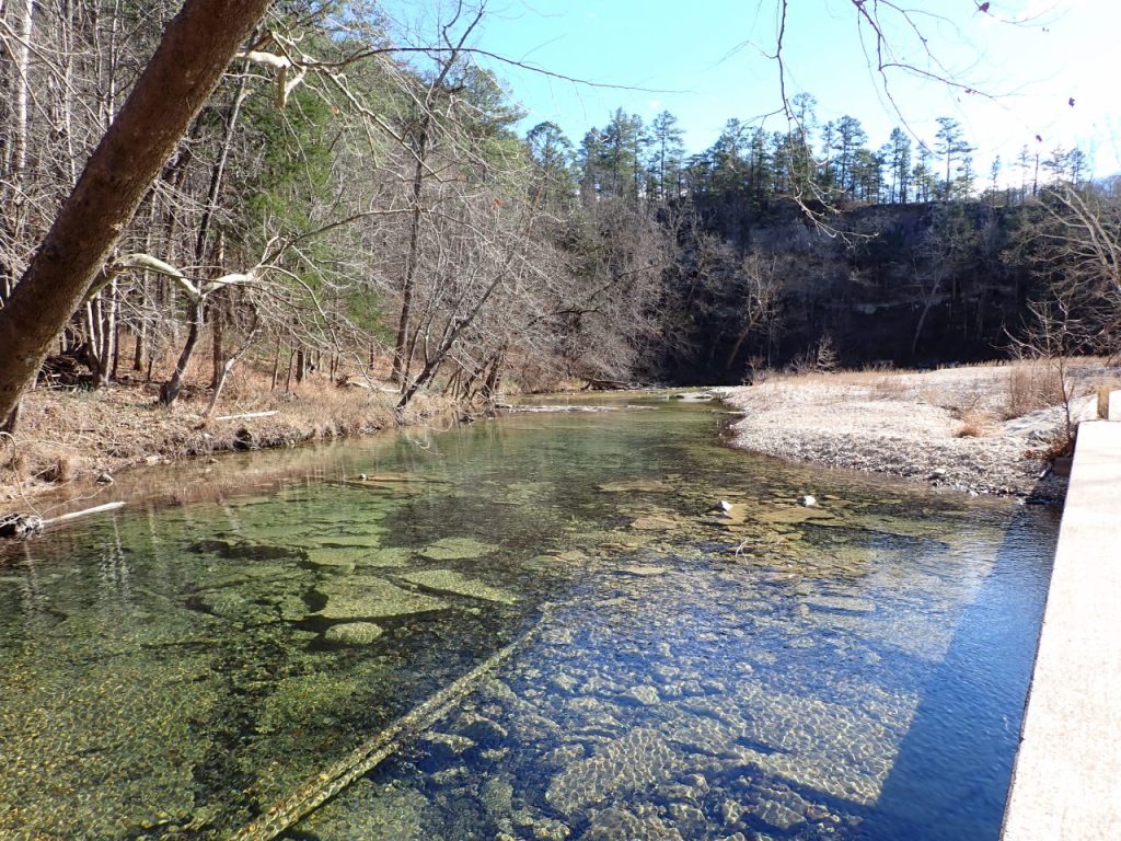
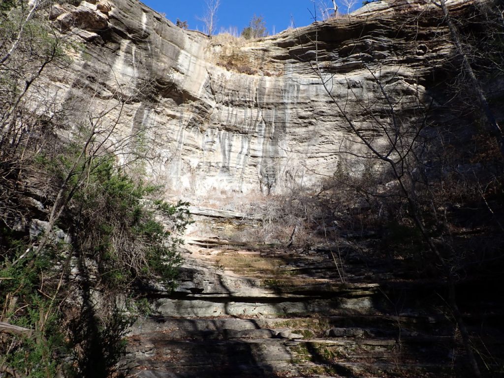
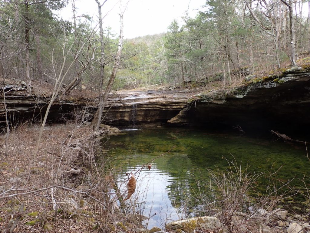
23.9 miles point-to-point. Located east of Marshall, north of Mountain View. This is like the Buffalo River on a smaller scale – lots of bluffs, scenic vistas, interesting geology, and swimming holes. June ’11 trip. April ’12 trip. March ’17 trip.
The trail goes through 3 USFS Recreation Areas where one can camp (daily fee). Barkshed is relatively primitive, Gunner Pool a bit more developed while Blanchard Springs features campgrounds, a cave (with daily tours), a small spring-fed lake, and several day use facilities and swimming areas. The Blanchard Springs area is becoming a State Park. North Sylamore Creek is crossed 4 times but 3 of those are on bridges.
A tornado in spring ’25 left a large number of obstructions on the trail between Gunner Pool and Blanchard Springs. An accompanying flood damaged low-lying areas of Blanchard Springs and much of it remains closed. In May ’25 a crew with Ozark Highlands Trail Association helped USFS clear the tornado debris from the trail, re-opening the section between Gunner Pool and Blanchard Springs.
Jan ’26 update: Blanchard Springs to Allison is clear and open. About a mile downstream of Blanchard Springs the trail has been re-routed to go around the large pile of debris left by the flood. Gunner Pool to Blanchard Springs is passable, though USFS signs saying this section is closed remain in place.
Maps
My maps are a 3-page PDF that will print at about 1:24000 scale on 11×17″ paper. A small part of the Ozark Highlands Trail, which intersects this trail, is included.
v4, Jan 18 2026: Minor changes – a small reroute downstream of Blanchard Springs is depicted, a couple back roads that intersect the trail are shown, a couple scenic areas are marked. Point-to-point mileage has been updated. The RV Waste Dump in Blanchard Springs (a temporary parking area for hikers) is shown.
Trail Heads
Cripple Turkey: 36.0565°N 92.3184°W. Parking only – no facilities. Shared with the Sylamore section of the Ozark Highlands Trail.
Barkshed Rec Area: 36.0192°N 92.2492°W. Open field for tent camping, vault toilet, I didn’t see a fresh water hydrant. Fees for camping and day use. The upstream trail crosses the bridge over North Sylamore Creek. The downstream trail follows the road about 500′ around the curve and departs to the right.
Gunner Pool Rec Area: 35.9941°N 92.2123°W. Tent platforms with picnic table & fire ring, vault toilets, fresh water (seasonal). Fees for camping and day use. The upstream trail crosses the bridge over North Sylamore Creek and follows the road for 600′ before departing to the left. The downstream trail follows the road past the east side camping area then departs to the left.
Blanchard Springs Rec Area: 35.9692°N 92.1731°W (day use area). Tent platforms with picnic table & fire ring, flush toilets, showers, fresh water (seasonal). Fees for camping and day use. The upstream trail follows the sidewalk toward the bathrooms in the day use area before departing up the hill into the woods. The downstream trail follows the sidewalk around to the left and through the trees toward and across the bridge to the swimming area then departs from the left side of the parking lot. There is a spur leading from the campground (next to site #27) 0.2 miles up the hill to intersect the trail.
Mirror Lake is accessible and the cavern is open (seasonally), everything else is temporarily closed due to flood damage. Hikers can park in the dump station parking lot at 35.9659°N 92.1695°W and walk the road through the gate and down the hill.
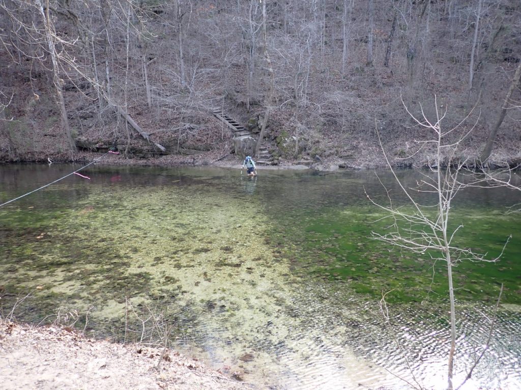
Allison: 35.9418°N 92.1267°W. Parking only – no facilities. The trail goes across the field, turns left along the fence line, crosses North Sylamore Creek (wading required) and heads up hill. I crossed the creek in Jan ’26 with a gauge height of 1.45′. The water got a little over knee-deep on the side farthest from the trail head.
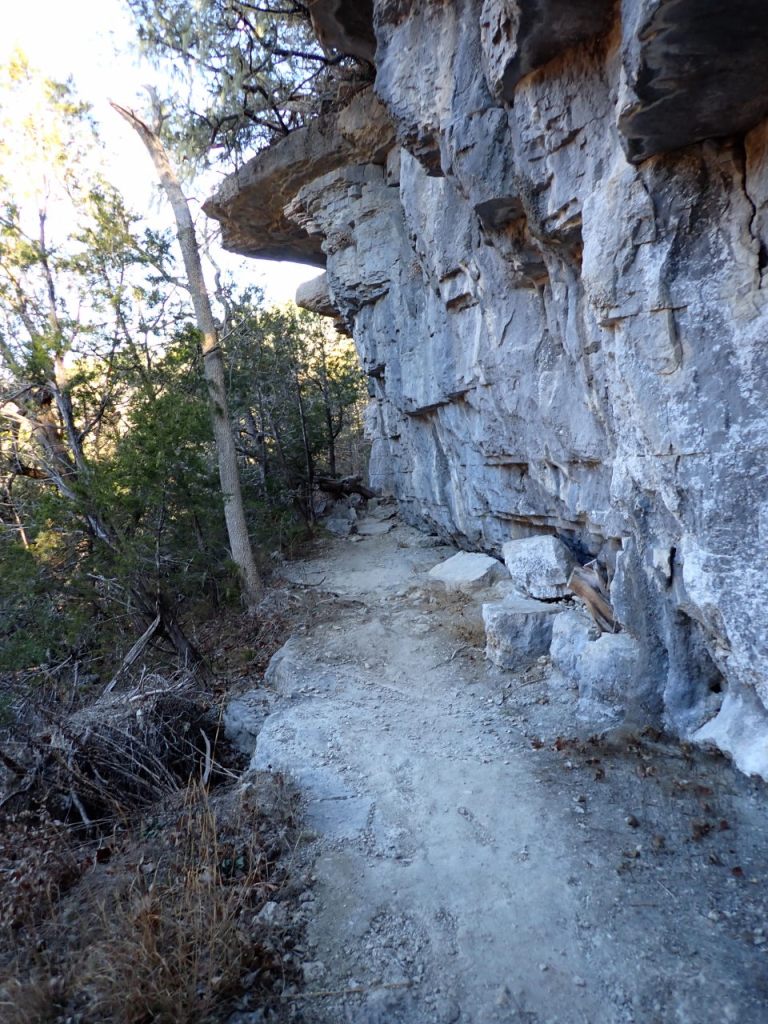
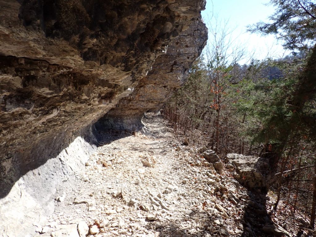
The Trail
The trail has light blue metal blazes. There are some mile markers and USFS measures the mileage east-to-west from the Allison end. The Allison trail head is at 320′ elevation while Cripple Turkey is about 1000′. The biggest climbs in between are about 300′ so it’s pretty gentle.
Allison to Blanchard Springs Rec Area: 4.8 miles.
Blanchard Springs Rec Area to Gunner Pool Rec Area: 5.25 miles.
Gunner Pool Rec Area to Barkshed Rec Area: 4.25 miles.
Barkshed Rec Area to Barkshed Creek: 4.9 miles.
Barkshed Creek to Cripple Turkey Rd: 4.7 miles.
Photos
Last review/update: Mar 1 2026


Can you tell me a little more about the access to the Cripple Turkey parking area? Is it accessible by car? I was in the area recently and it seemed that you can only drive down the road in an atv or something similar
I haven’t been to that trailhead for several years but in the past the road has been okay for passenger cars. It probably doesn’t get a whole lot of maintenance though.
Thank you! Your website is incredibly helpful