
Blue Mountain Natural Area is a 457-acre tract owned by The Nature Conservancy. It lies south of Lake Maumelle and west of Pinnacle Mountain State Park. It features 3 interconnected trails of about 7 miles. The trail head is at 34.8469°N 92.5583°W, on the north/east side of AR-10. OpenStreetMap view.
The area is bordered on the east by Rattlesnake Ridge Natural Area which has its own trail system. The two trail systems connect near the boundary.
Maps
My map is a 1-page PDF that will be about 1:12000 scale on 8.5″x11″ paper. Here’s some general info about my maps. Every time I update the map the file will have a different name so if you want to bookmark or share it, link to this page – not the file.
The trails on the map are colored according to the blazes used on the actual trails. I omitted the usual greenish landcover layer from the map since the whole area is forested anyway and it made some of the trail lines a bit harder to see.
Trails
Elevations range from about 370′ at the trail head to a max of 560′ on Tarantula Hawk. It’s a very mild gradient.
Luna Moth: 3 mile loop for hikers and mountain bikers.
Tarantula Hawk: 3.5 mile loop for hikers and mountain bikers. Connects to Lower Kanob trail in Rattlesnake Ridge Natural Area.
Dhu Drop: 0.8 miles. Bikes only, downhill only.
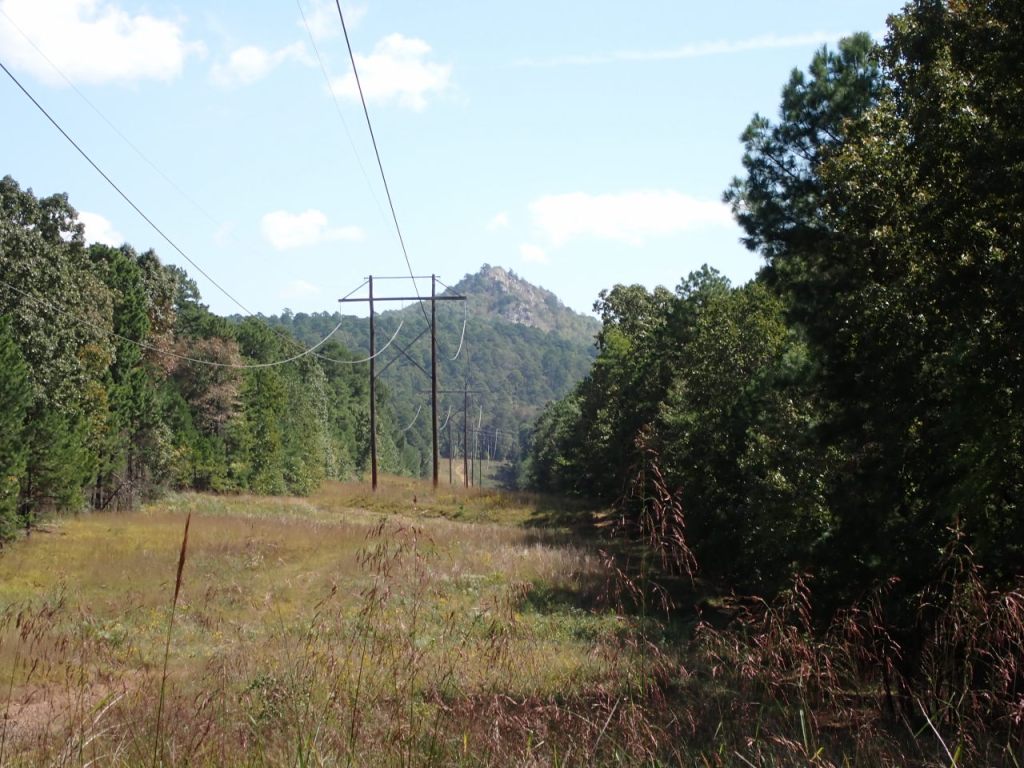
Photos

Last updated/reviewed: Oct 15 2025


