
The Mount Magazine Trail runs about 10.5 miles between Cove Lake and the Cameron Bluff Campground in Mount Magazine State Park with almost 1500′ elevation change. All except the 1/2 mile nearest the campground is in the national forest where backcountry camping is permitted.
Map
Here’s some general info about my maps. Every time I update the map the file will have a different name so if you want to bookmark or share it, link to this page – not the file. The map is a 1-page PDF that covers the Mt Magazine Trail and the trails around nearby Cove Lake and will be 1:20000 scale on 11×17″ paper.
The map shows all the mile markers that I found on my Feb ’24 trip. #4, 6, & 7 seem to be missing.
Map version 3, published April 30 2024 added mileage between key trail points and various styling tweaks.
Trail Heads
Cove Creek 35.2311°N, 93.6317°W
Corley 35.2155°N, 93.6568°W
Greenbench Rd 35.1924°N, 93.6448°W
Cameron Bluff Campground 35.1734°N, 93.6444°W
Trail
Lower Section
The lower section begins at what I call the Cove Creek trail head (to distinguish it from the nearby Cove Lake trail head), at the northwest corner of the Cove Lake Recreation Area and runs about 4.2 miles to the Corley trail head. The trail begins at 1000′ elevation and heads in a westerly direction, taking 3.5 miles to climb to 1100′ while crossing over several nice creeks before turning north along the bluff overlooking the Gutter Rock Creek drainage and climbing to 1300′. A short spur to the Corley trail head continues straight ahead while the trail heads downhill to the right.
This is a nice area. The trail crosses several creeks with fairly level terrain between them so water and potential camp sites seem plentiful.
Middle Section
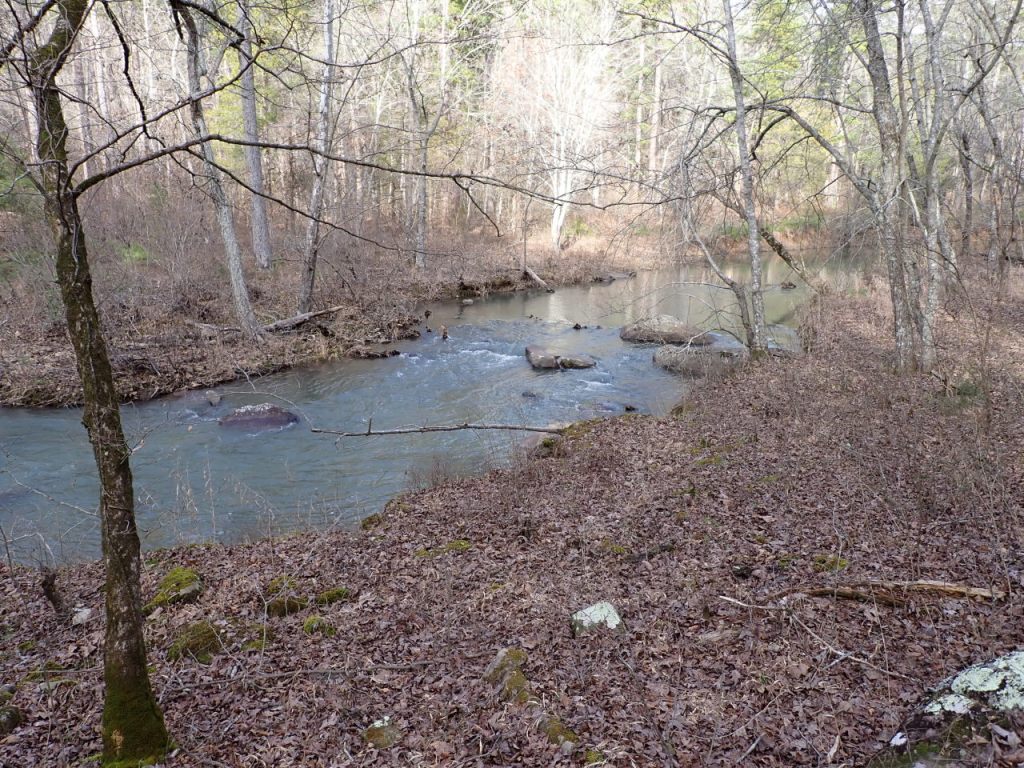
The middle section runs 3.3 miles between the Corley and Greenbench Rd trail heads. The trail begins at 1300′ elevation and heads south down and across a slope 0.25 mile, then steeply down a gas line clearing for about 650′, then on FR-1631 for about 700′ before leaving the road to the left. From here, the descent is more gentle to 1080′ at the Gutter Rock Creek crossing about 1.5 miles from the Corley trail head. This is the biggest creek crossing along the trail and the one most likely to require wading. Just before descending to creek level there is a nice level clearing on the right that would be a good camp site. Otherwise, the ground is pretty rocky but there are probably more areas where a tent can be pitched. A short distance downstream from the crossing, Lick Creek joins Gutter Rock. From the creek the trail climbs to about 1300′ at the top of a bluff line. The trail turns east through a very brushy area and is indistinct at times but generally follows the edge of the bluff before getting back into the woods for a bit while climbing to 1400′, then crossing into a recently-logged area that extends most of the remaining 1/2 mile south to Greenbench Rd.
The creek area is a place where I could probably spend several days exploring the tributaries and their bluff lines. I suspect there are some great photographs to be had here in the spring. The recently-logged area is bound to be a maintenance headache for many years.
Upper Section
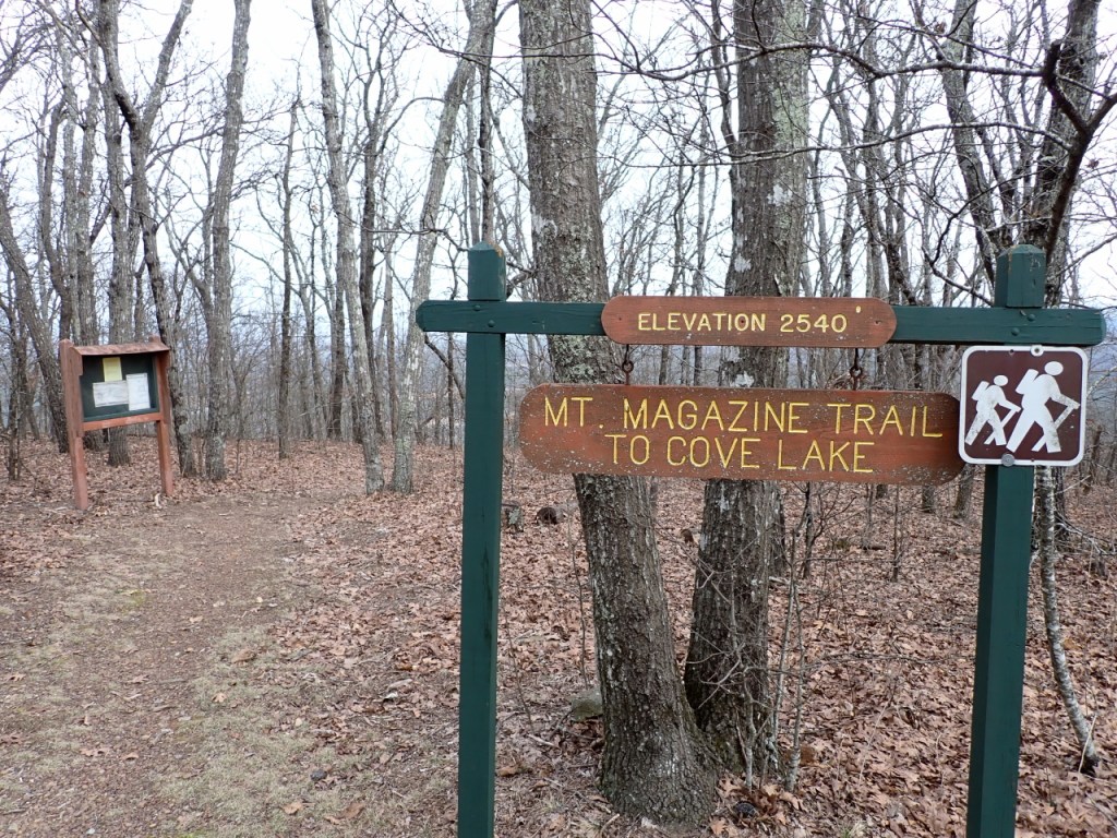
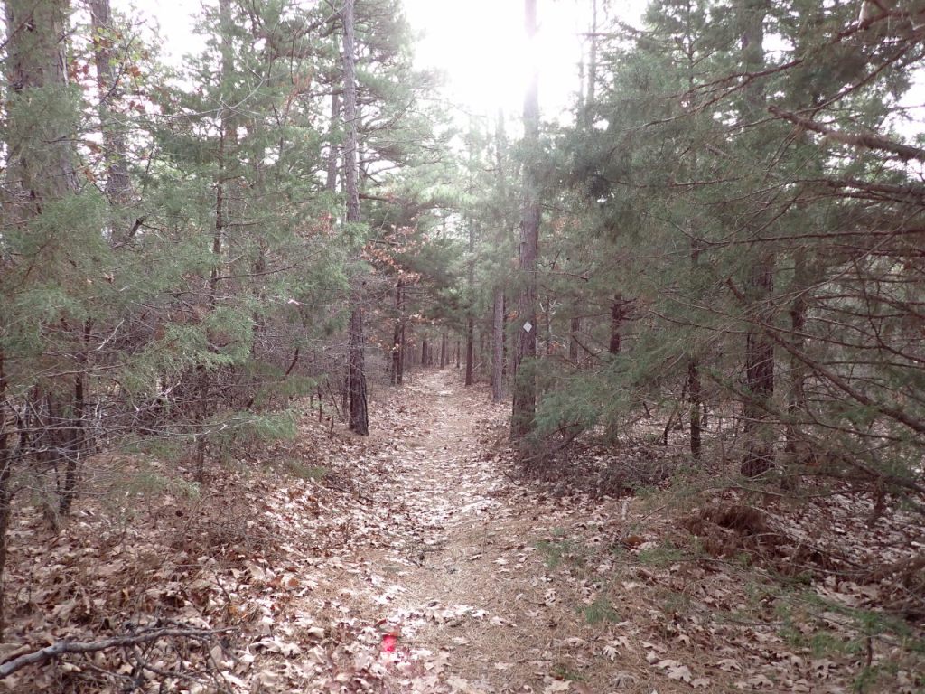
The upper section of the trail runs 2.7 miles between Greenbench Rd and the Cameron Bluff Campground in Mount Magazine State Park. The trail starts at 1400′ elevation and immediately begins climbing south to a broad bench at about 1600′. A camp site should be easy to find here. At mile marker 8 the climb resumes and at about mile 8.7 (1880′) there is a nice clearing on the right that would be a great camp site. Just beyond, 3 small creeks come together – the only decent water source along this part of the trail. The climb continues with the last stretch becoming rather steep near the top. The trail crosses Overlook Drive and heads across a broad flat to the junction with the North Rim Trail at the edge of the campground at 2540′.
Photos


Last review/update: Oct 29 2025


