It took me a long time to get to it, but I have finally hiked the Mt Magazine Trail. I did the 10.5 miles between Cove Lake and the state park campground as 3 out-and-back day hikes instead of backpacking. I hiked all the trails on top of Mt Magazine again over a couple days in January, and the trails around Cove Lake too, so I’ve been able to collect a lot of data for a new set of maps for the area.
My biggest reservation about this trail was that I knew there were numerous gas wells in the area (it’s part of the Arkoma Basin) and figured that would probably ruin the experience for me. Just a bit south of the Corley trail head the trail does follow a gas line clearing for a very short distance and passes by a pipeline valve and one well head. There is also noise all through that valley from a big engine running continously somewhere. It’s very audible for several miles along the trail. Overall though, it’s not nearly as bad as I expected.
I was also pleasantly surprised at how well-maintained the trail is. I did not encounter any deadfall though there was plenty of evidence of past deadfall being removed. The corridor is adequately blazed with gray/silver diamonds and was generally pretty obvious even without blazes. There are mile markers but #4, 6, & 7 are missing.
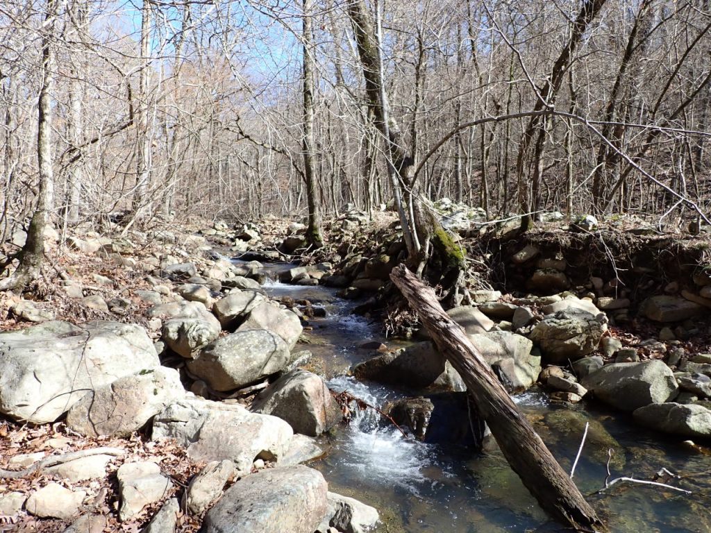
The lower section, between Cove Lake and the Corley trail head, is my favorite – a great walk in the woods. The trail crosses several creeks with fairly level terrain between them so water and potential camp sites seem plentiful.


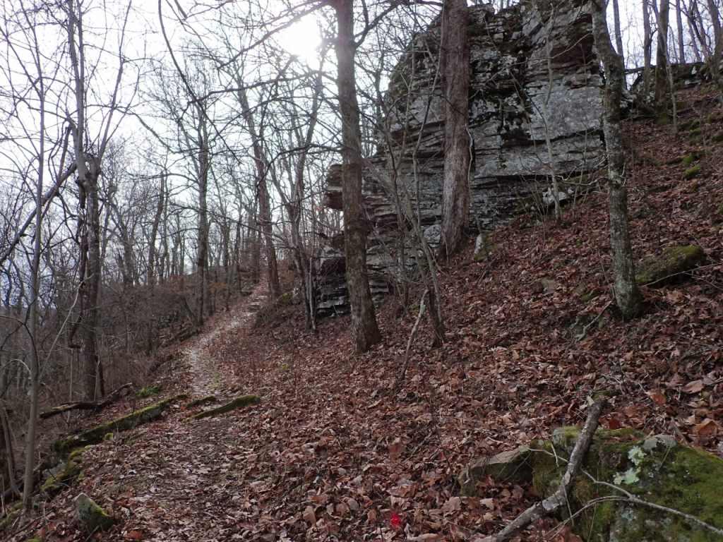
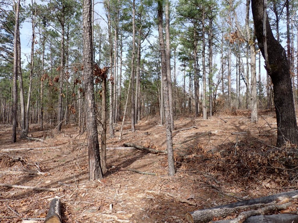
The middle section descends to cross Gutter Rock Creek then climbs back up to the Greenbench Rd trail head. The creek area is a place where I could probably spend several days exploring the tributaries and their bluff lines. I suspect there are some great photographs to be had here in the spring. Much of the last mile is in a recently-logged area that is bound to be a maintenance headache for many years. Near the trail head the trail goes over the dam between two wildlife ponds where the frogs were very vocal.

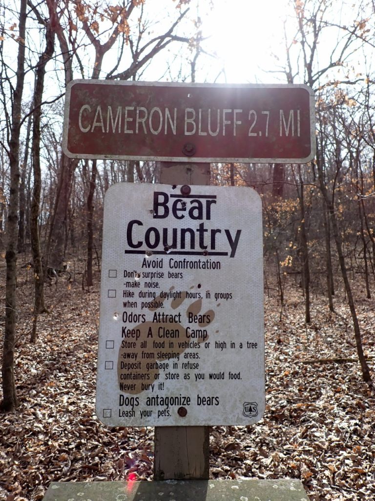
The upper section immediately starts climbing 1100′ to the Cameron Bluff Campground. The actual peak of Mt Magazine – another 210′ up at 2753′ – would be 0.7 miles across the campground and up the Signal Hill Trail. There aren’t any breathtaking views along this section though you can see quite a distance through the trees in leaf-off. Once on top you can walk a bit west to a picnic area with the great views.