
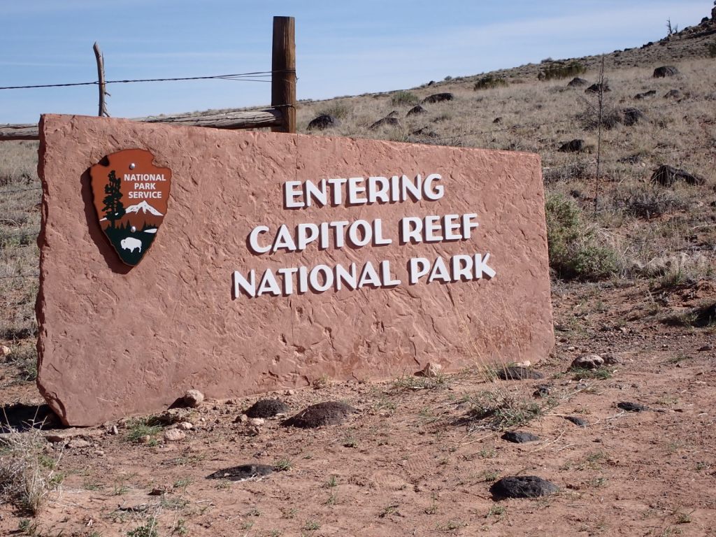
I spent some time at 3 of Utah’s “Mighty Five” with TC & RC, starting with 3+ days (April 6-9) at Capitol Reef NP. We saw only a small part of the whole thing yet it was a pretty representative sample. There was no backpacking or tent camping this time – we enjoyed the relative luxury of a cabin at Thousand Lakes RV Park in Torrey instead, complete with full bathroom and kitchen.
Torrey is just a bit west of the park boundary and about 10 miles from the visitor center, and makes a pretty good base to explore the area. There are a variety of B&Bs, cabin rentals, campgrounds, restaurants, gas station, and a grocery store with the basics.
A lot of trails are clustered around the visitor center and the historic community of Fruita, making it the hub of much activity. Overflowing parking lots were common but getting an early start helped. Outlying areas see much less visitation and so offer a decent chance at some solitude.
Some good resources are Trails Illustrated map #267 and Rick Stinchfield’s book. In addition, Falcon’s Best Easy Day Hikes is pocketable and concise.
Monday: We had a few hours of daylight left after arriving in Torrey and settling into our cabin so we first headed to the visitor center and then on to some nearby destinations needing only short hikes. It was good to stretch the legs after 2 days of driving.
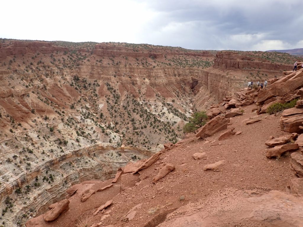
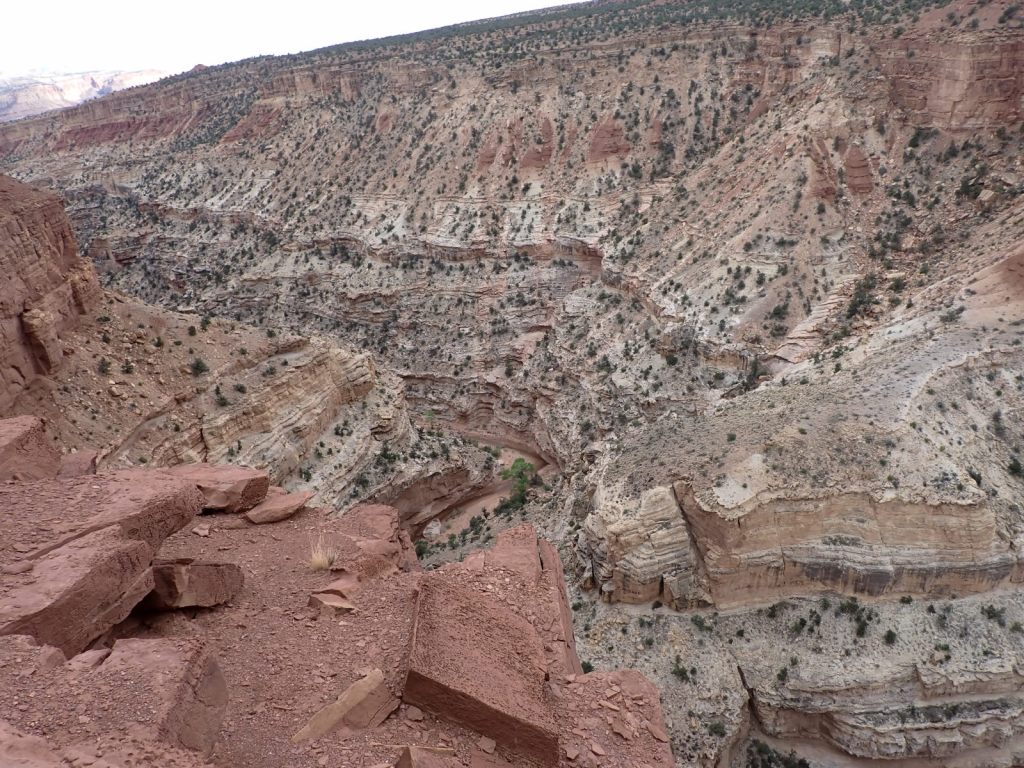
The Goosenecks Overlook is a recommended stop. It’s about 0.1-mile walk to a view of Sulpher Creek in a canyon 800′ below. The 5.8-mile Sulpher Creek Route follows the creek through the canyon and is probably worthwhile but we didn’t get to it (this time).
We also hiked out to Sunset Point from the Goosenecks parking lot, and then Panorama Point on the way back to the main road. They didn’t offer views that we hadn’t already seen.
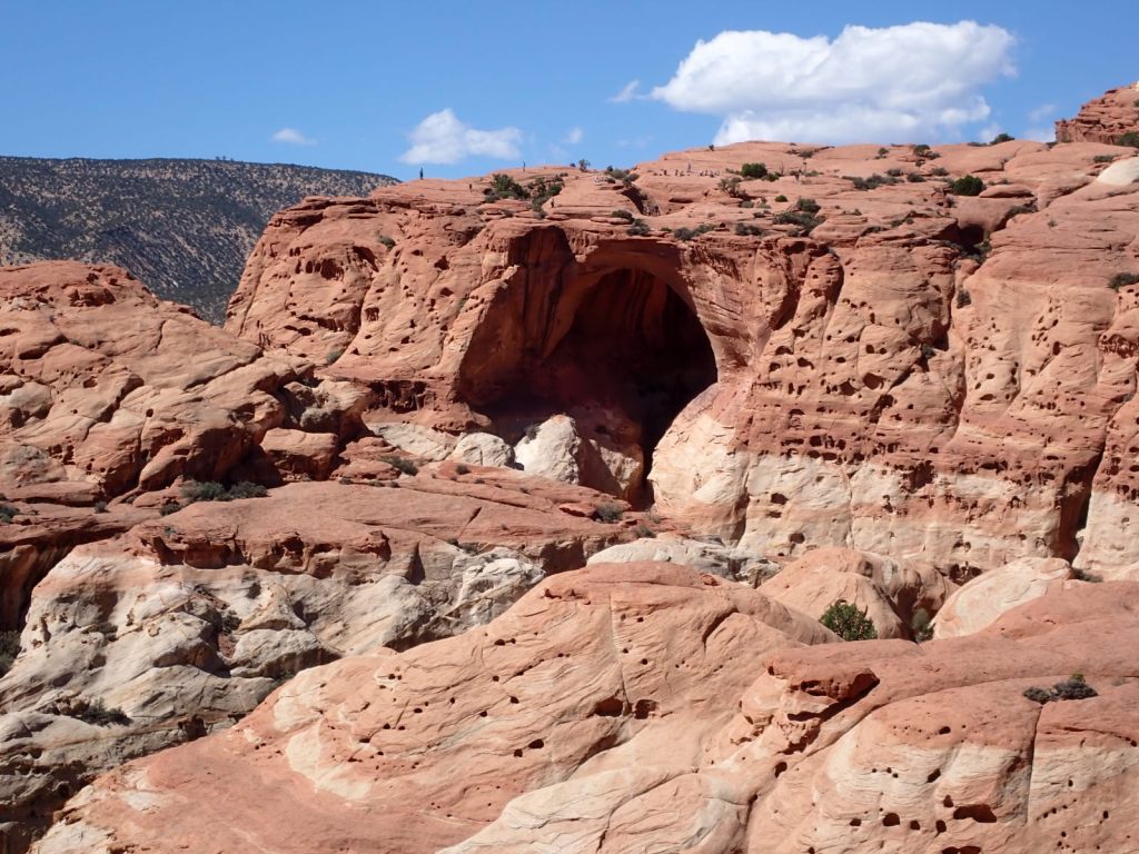
Tuesday: We returned to the visitor center/Fruita area to see Hickman Bridge, Cassidy Arch and the Grand Wash.
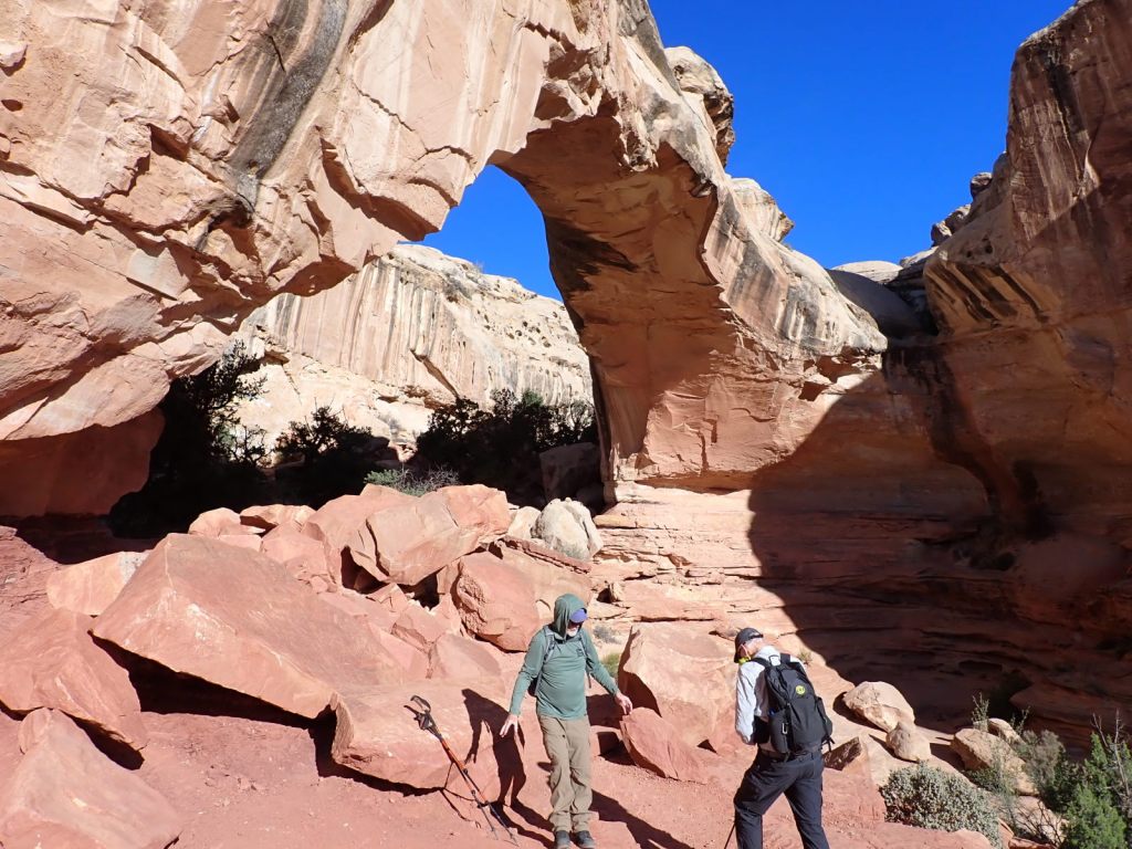
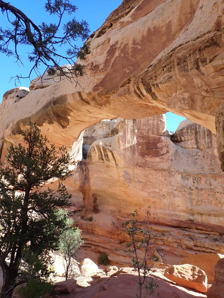
The Hickman Bridge Trail is about 2 miles out-and-back with 400′ elevation gain. It goes under the arch and loops around a ridge.
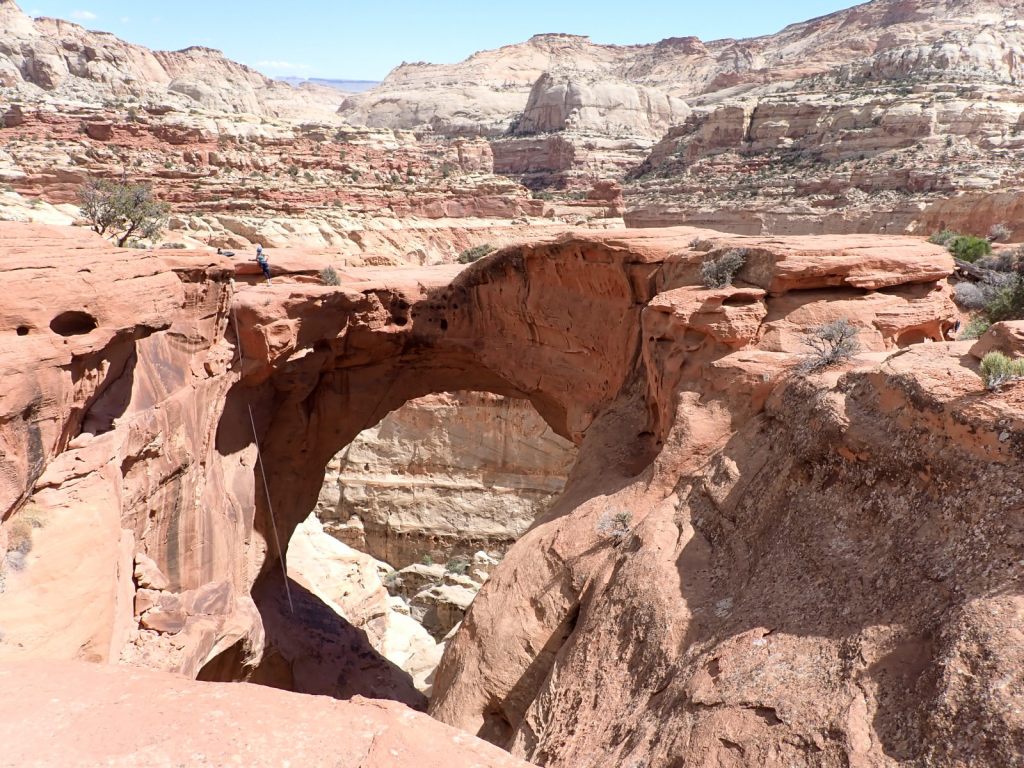
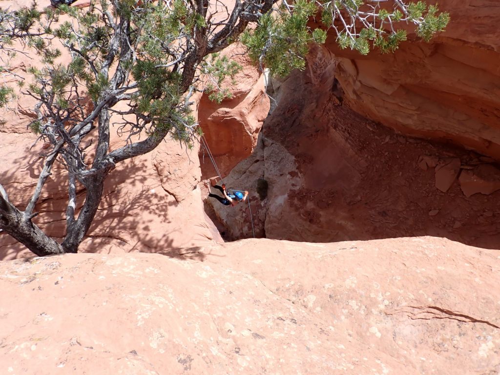
Cassidy Arch is reached from the Grand Wash Trail and requires a climb of 700-950′ (sources disagree but it felt like the bigger number to this unacclimated low-lander). This one differs from most of the arch views in that you hike to the level of the top and look down through it. You get your first view about 1 mile in but seeing it close-up is way better, and it’s only a 3.5 mile round trip. We watched people rapelling from it.
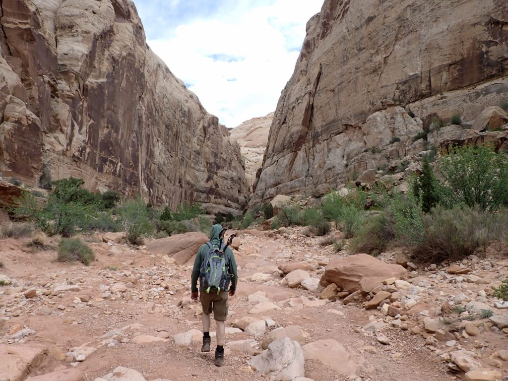
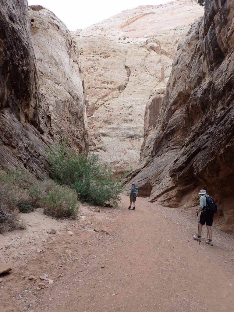
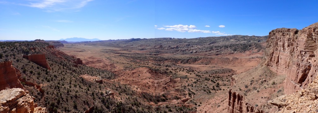
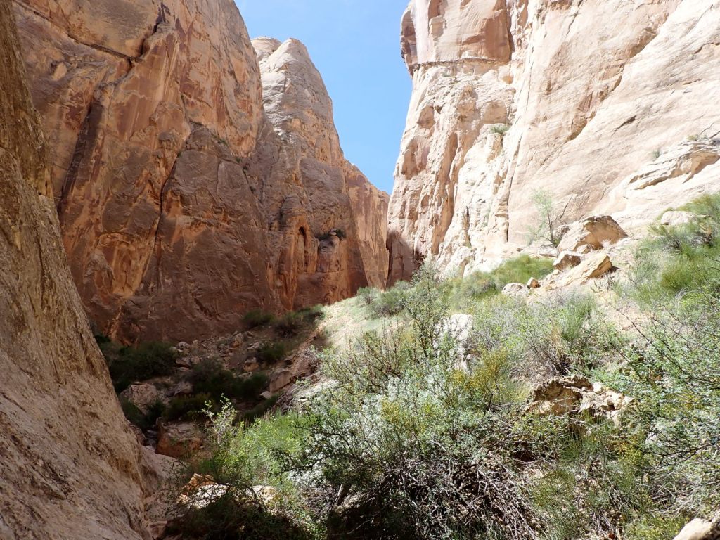
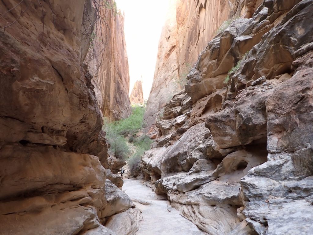
Afterward, we continued east on the Grand Wash Trail about another mile where it narrows as it cuts through the Waterpocket Fold. It’s said to be about 16′ wide and 600′ deep here. It’s an easy walk with little elevation change and very popular.
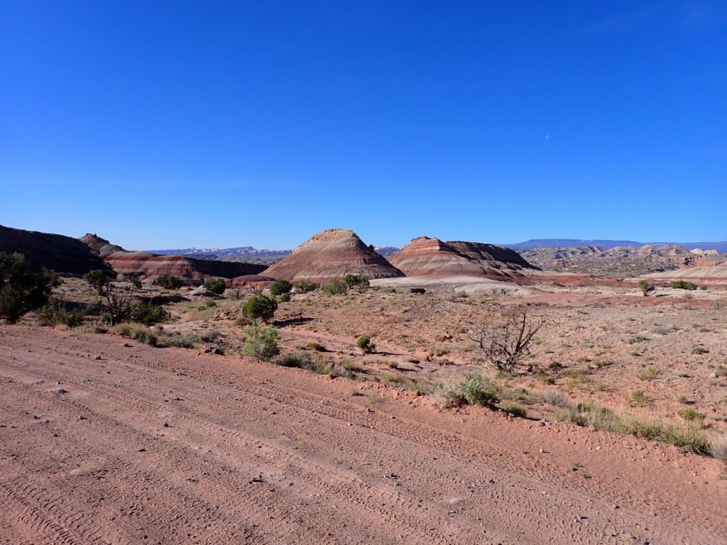
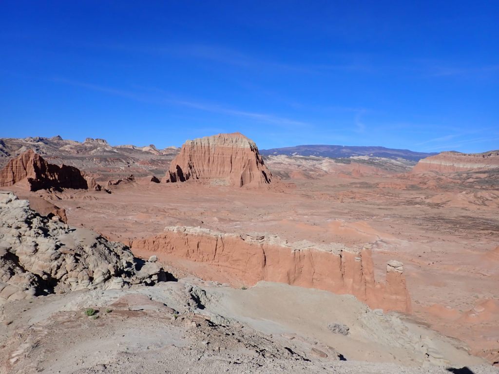
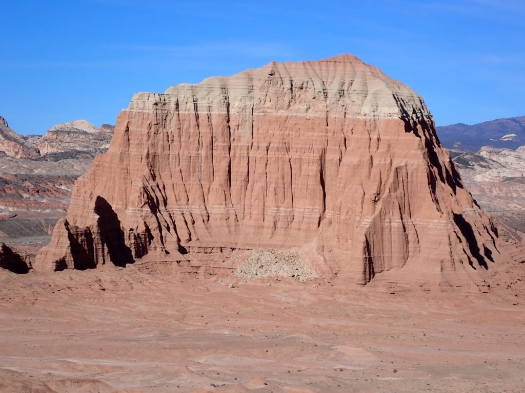
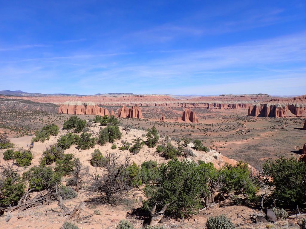
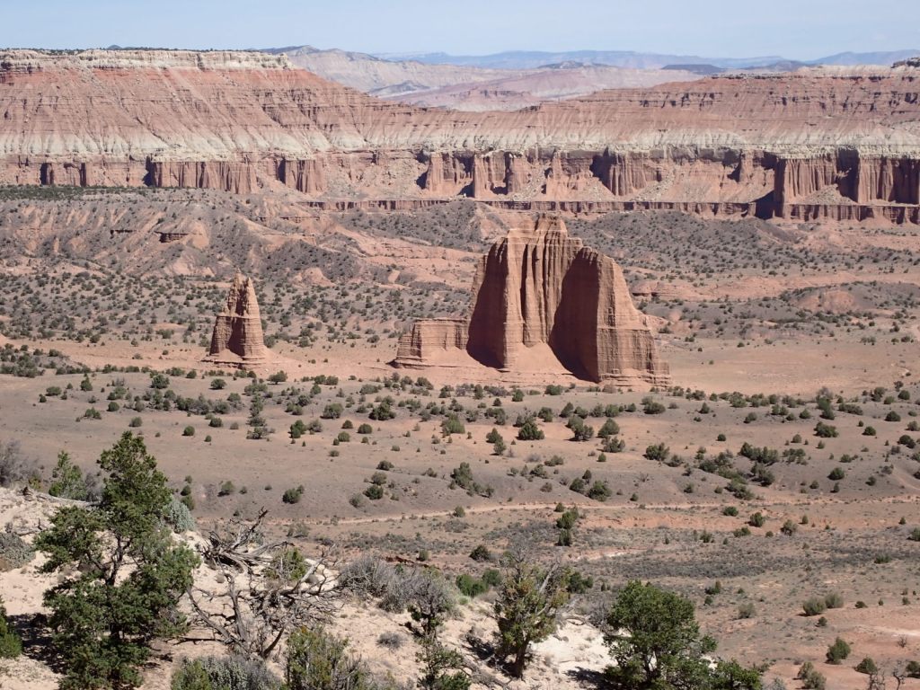
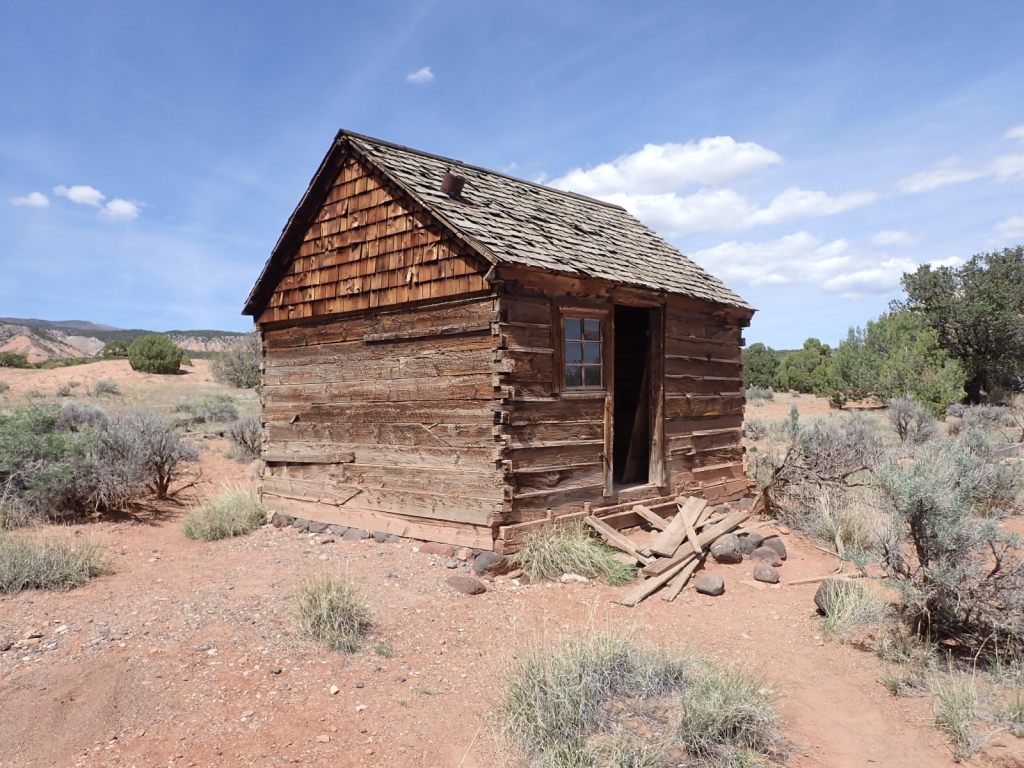
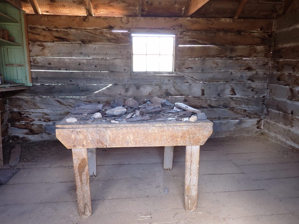
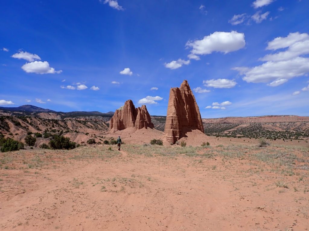
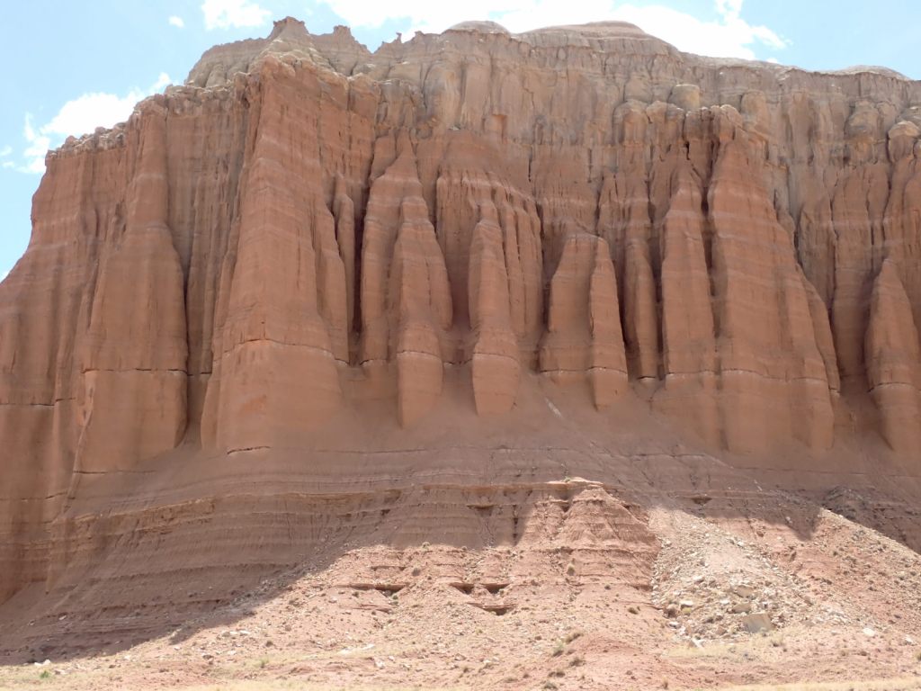
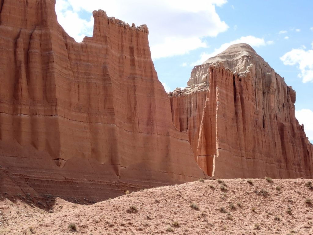
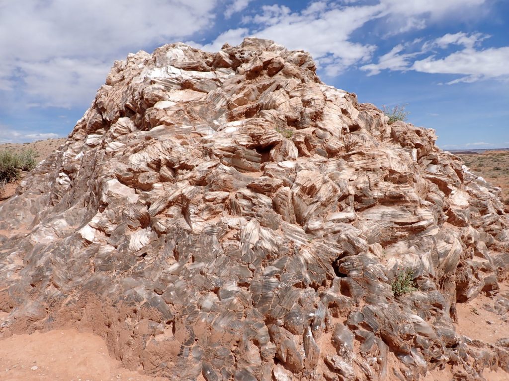
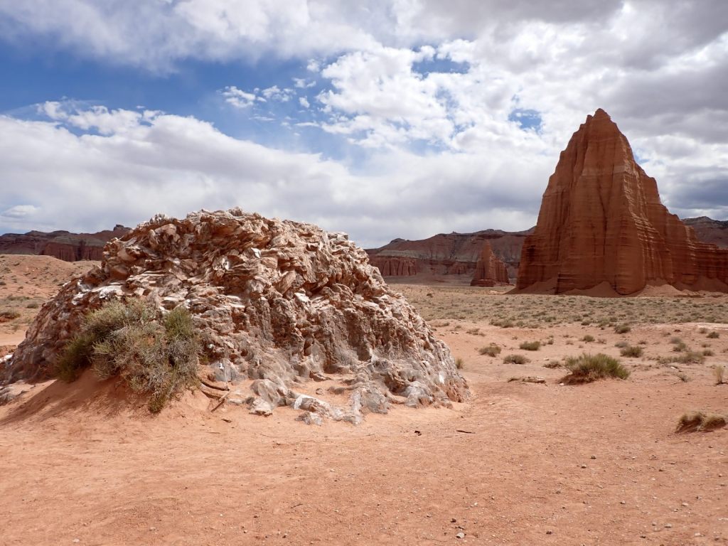
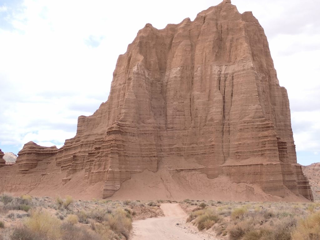
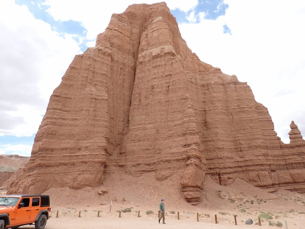
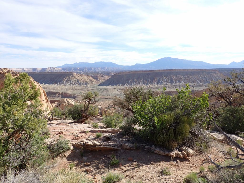
Wednesday: We rented a Jeep to drive the 96-mile Cathedral Loop through the northern part of the park. The visitor center has a great booklet, Cathedral Loop Road Guide, that describes 38 points-of-interest along the way. Geology, history, archaeology, scenery, and some short hikes are all here. Do take seriously warnings about the rough road as 58 of the miles are unpaved and infrequently maintained. Though my SUV could have completed the loop it would have been a cruel thing to do to it, and it might have taken two or three hours longer.
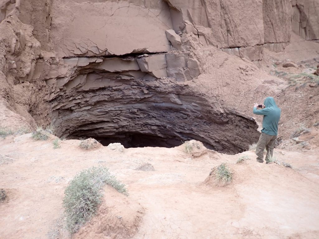
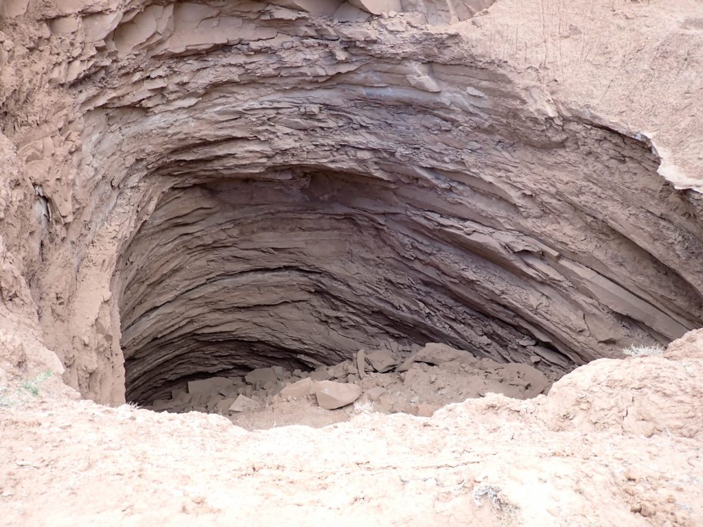
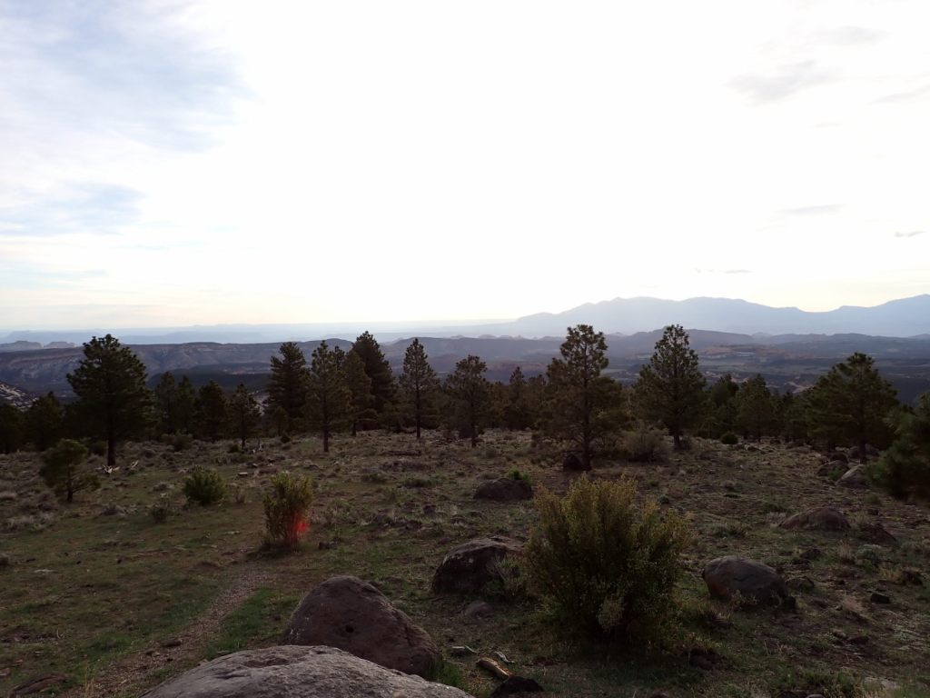
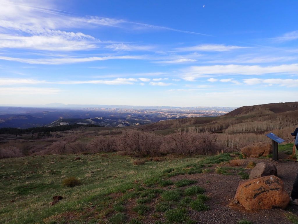
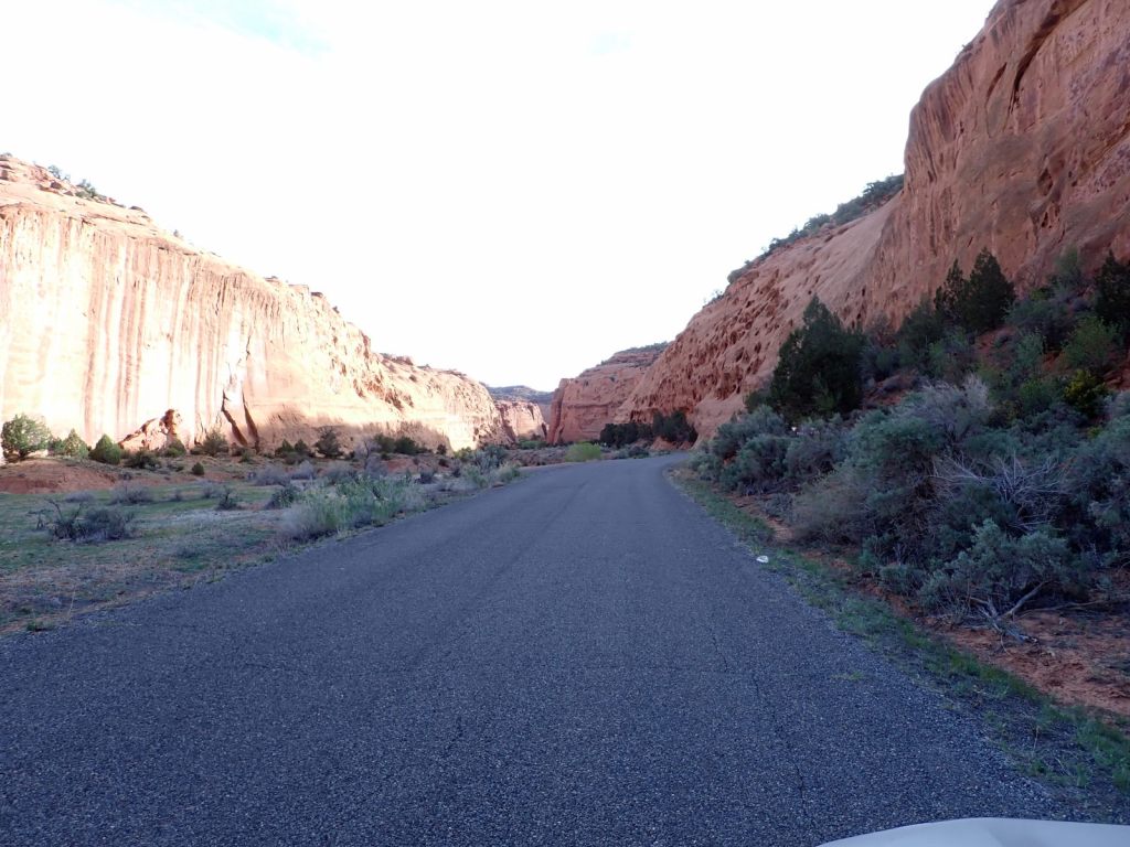
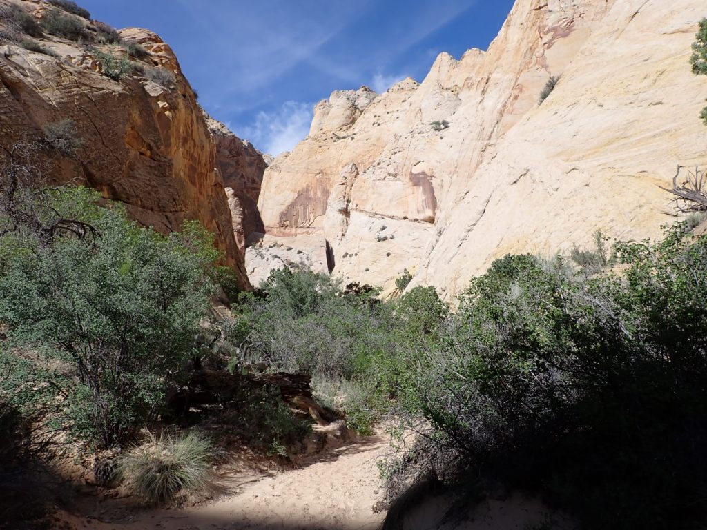
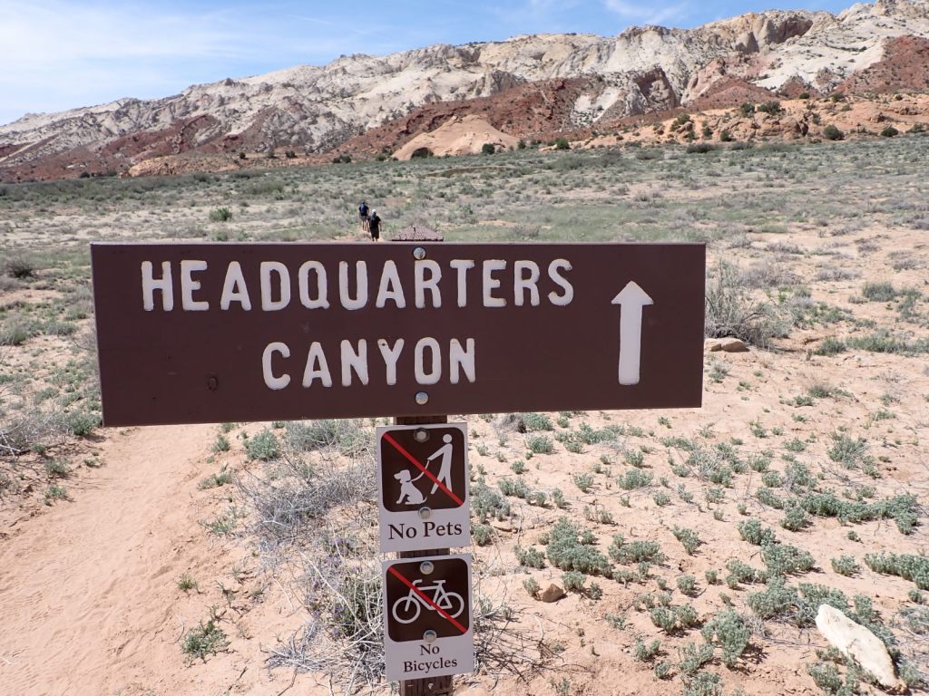
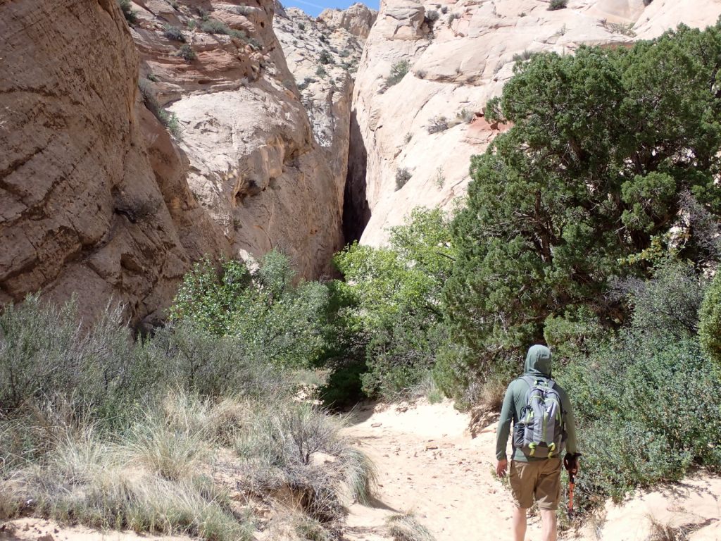
Thursday: Our targets were Surprise Canyon and Headquarters Canyon, a pair of genuine slot canyons in the southern part of the park along Notom-Bullfrog Road. We elected to drive the long route: south from Torrey on Hwy 12 through the Fishlake & Dixie National Forests, over Boulder Mountain (9600′) to the town of Boulder, east on Burr Trail Road through the north end of Grand Staircase-Escalante National Monument, then down the Burr Trail Switchbacks. It was a good choice as there was some great scenery along the way. We encountered more cows than cars on the road so it’s an escape from the crowds as well. Burr Trail Road is paved, except for the 5 miles within Capitol Reef.
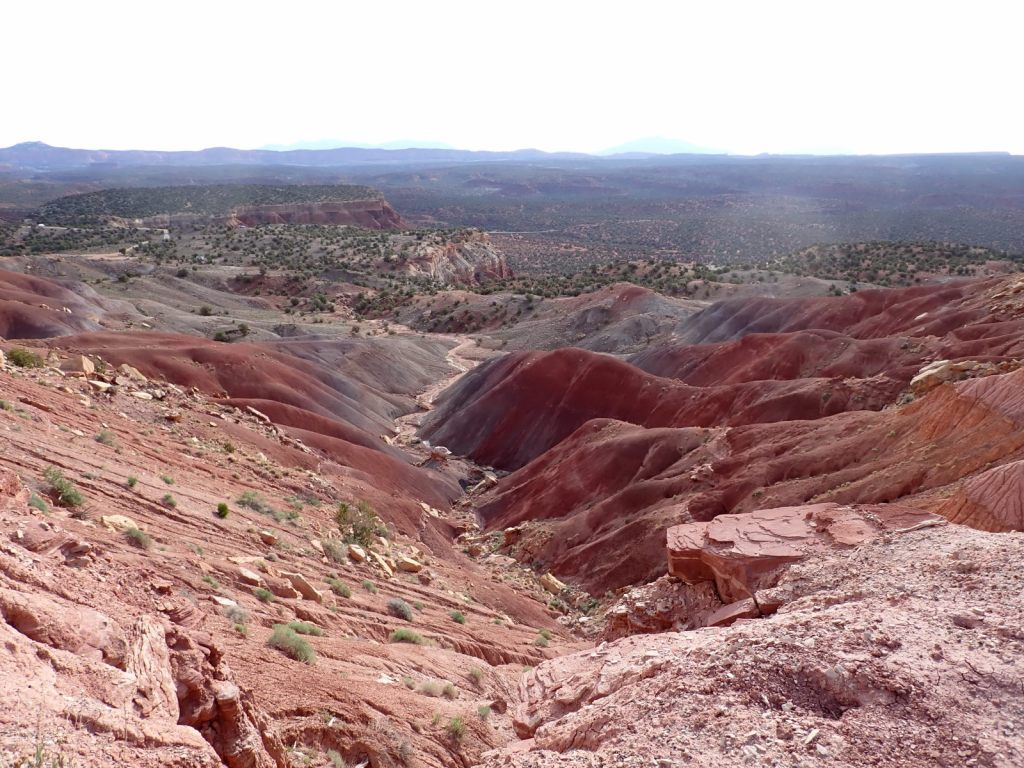
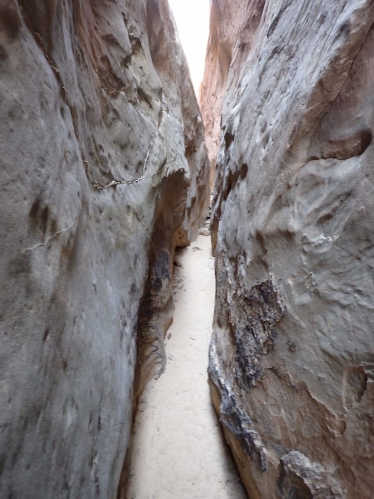
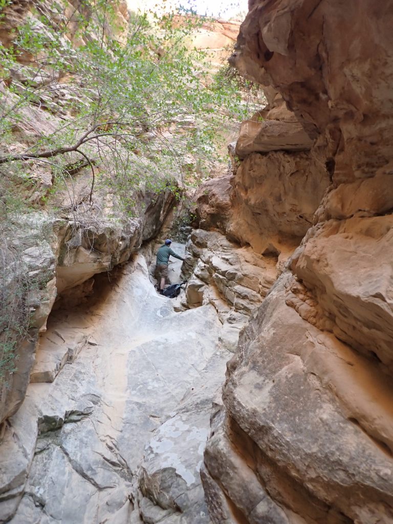
Surprise Canyon was my first time in anything close to a slot canyon and it was a good introduction with minimal effort needed but we soon arrived at a big rock in the path. There was a too-narrow slot around it. We figured we could probably climb over it but coming back down could be pretty dicey so that became our turn-around point. Upon reading a description of the hike later, there is an even bigger obstacle just beyond that rock so we didn’t really miss much.
The parking area was empty when we arrived, and indeed the whole valley seemed un-peopled. On our way out we encountered a couple hiking in and could see a couple cars at Headquarters Canyon, a short distance down the road. We were far from the crowds.

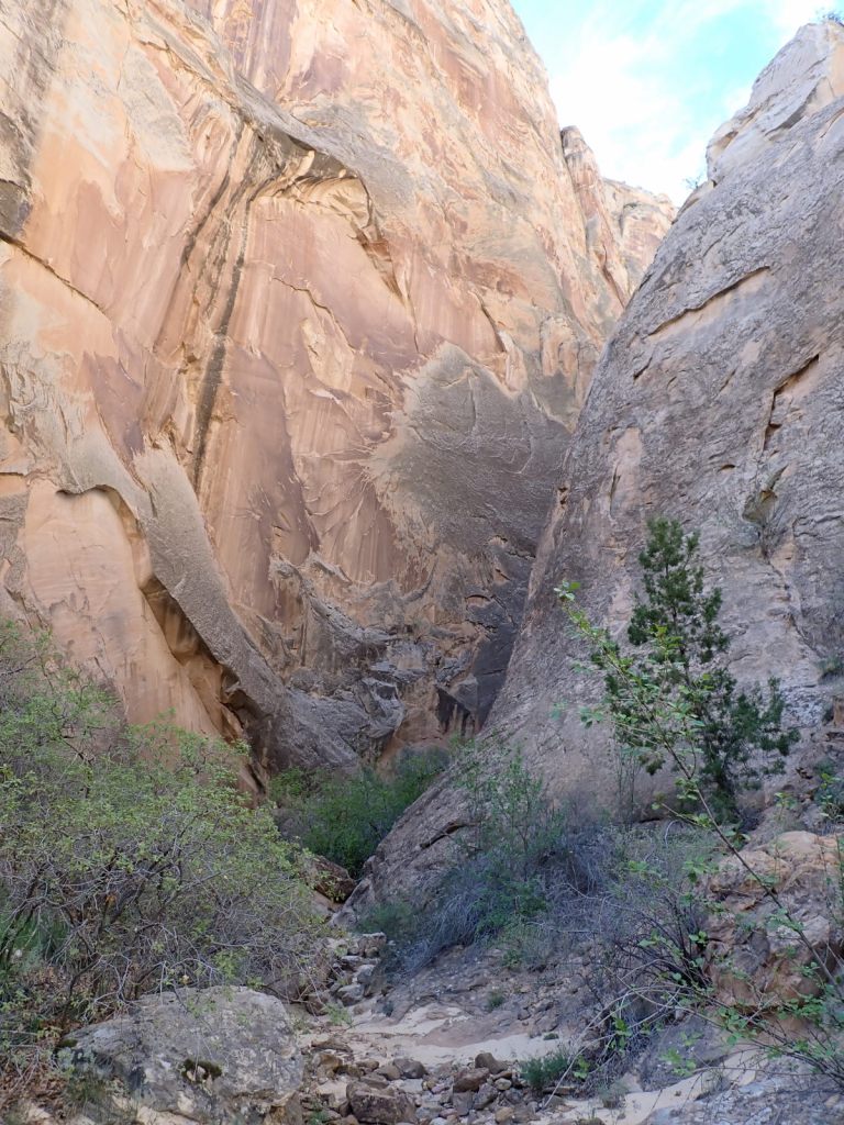
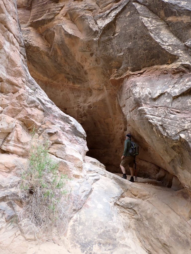
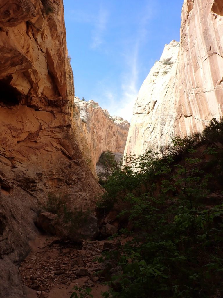
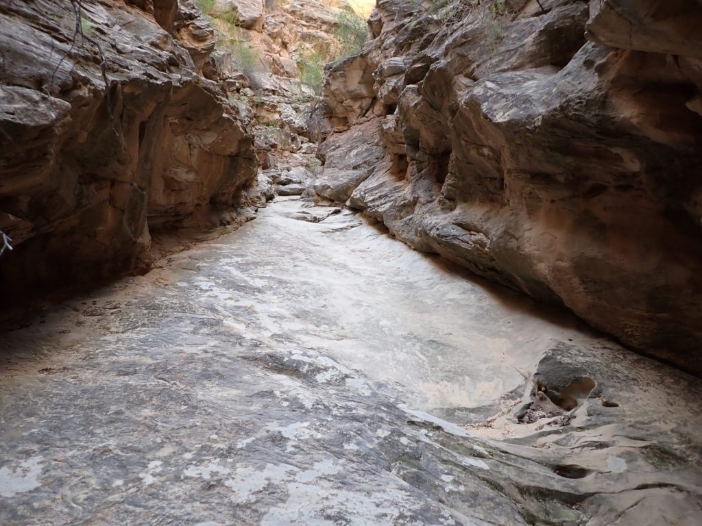
Headquarters Canyon was more interesting and satisfying, with some scrambling required and a variety of environments. We got farther into it as well, eventually coming to a long slick rock ramp with a 15′ wall at the end. People with more skill undoubtedly scale that and continue up the canyon but we were okay with turning around there. I felt like I finally had some slot canyon experience, even if a bit superficial.
We met a couple guys at the trail head that had driven down Notom-Bullfrog Road and said it was not in bad shape so we decided to drive back that way to see some different scenery. It was about 13 miles to the pavement with several miles being very washboarded and not very fun. Thus we ended up completing another driving loop – this one 125 miles – for which the visitor center has a handy guide: Loop the Fold Road Guide.
Some other things that sounded interesting but we didn’t have time for: Fremont Gorge Overlook, Navajo Knobs, Pleasant Creek, Lower Muley Twist.
Friday morning we headed east toward Moab to check out the sights in that area.


