The first stop on Wednesday was Garden of the Gods. I was here when I was about 7 years old but remembered nothing about it until I saw Steamboat Rock. Then I just remembered that one rock. We took a short hike here on the Ute Trail and readily noticed the thinner atmosphere.
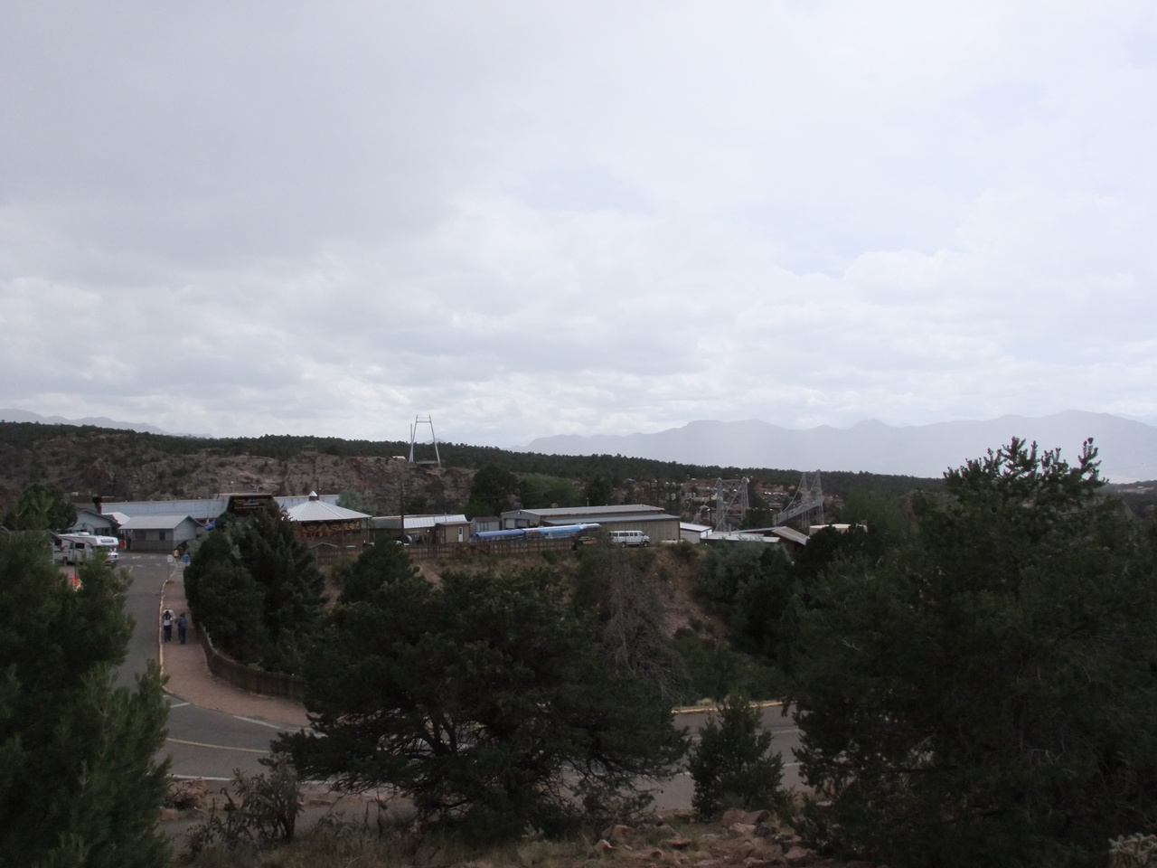
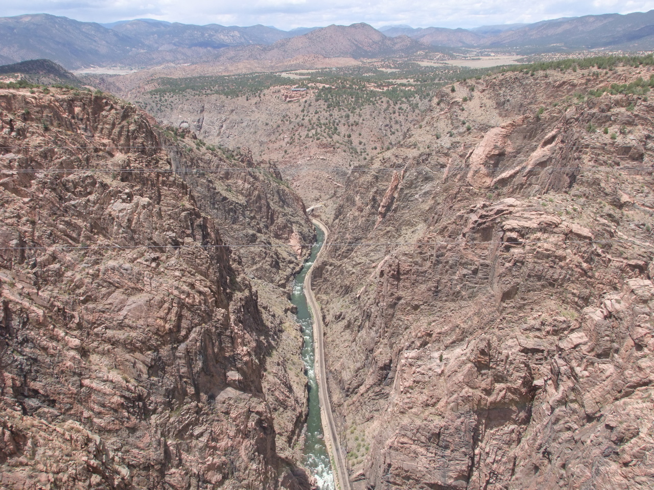
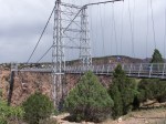
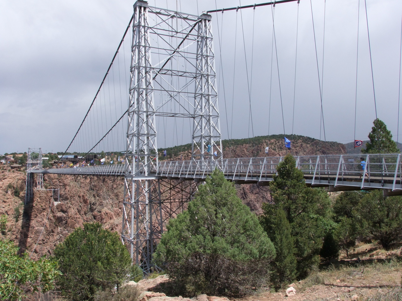
From GotG we headed through Cañon City to Royal Gorge. I was disappointed to see a lot of touristy crap and a gate where they charge $26 admission. We found a weakness in their defenses and got in for free, then walked to the other end of the bridge and back.
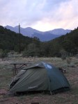
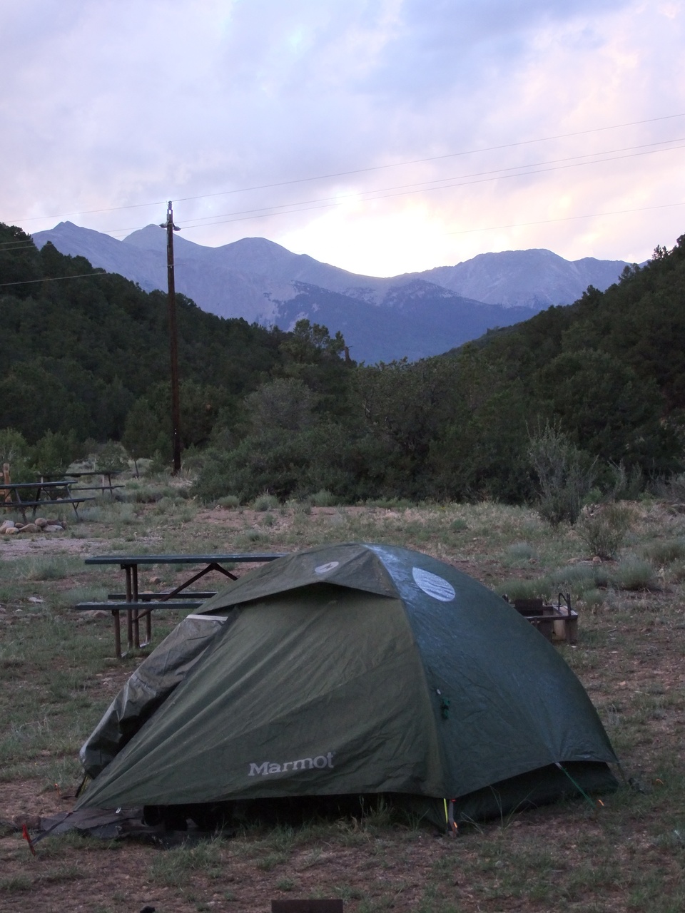
Then it was on to Salida where we got settled. 2 people stayed in the Simple Lodge while 3 others stayed at the Heart of the Rockies Campground with me.
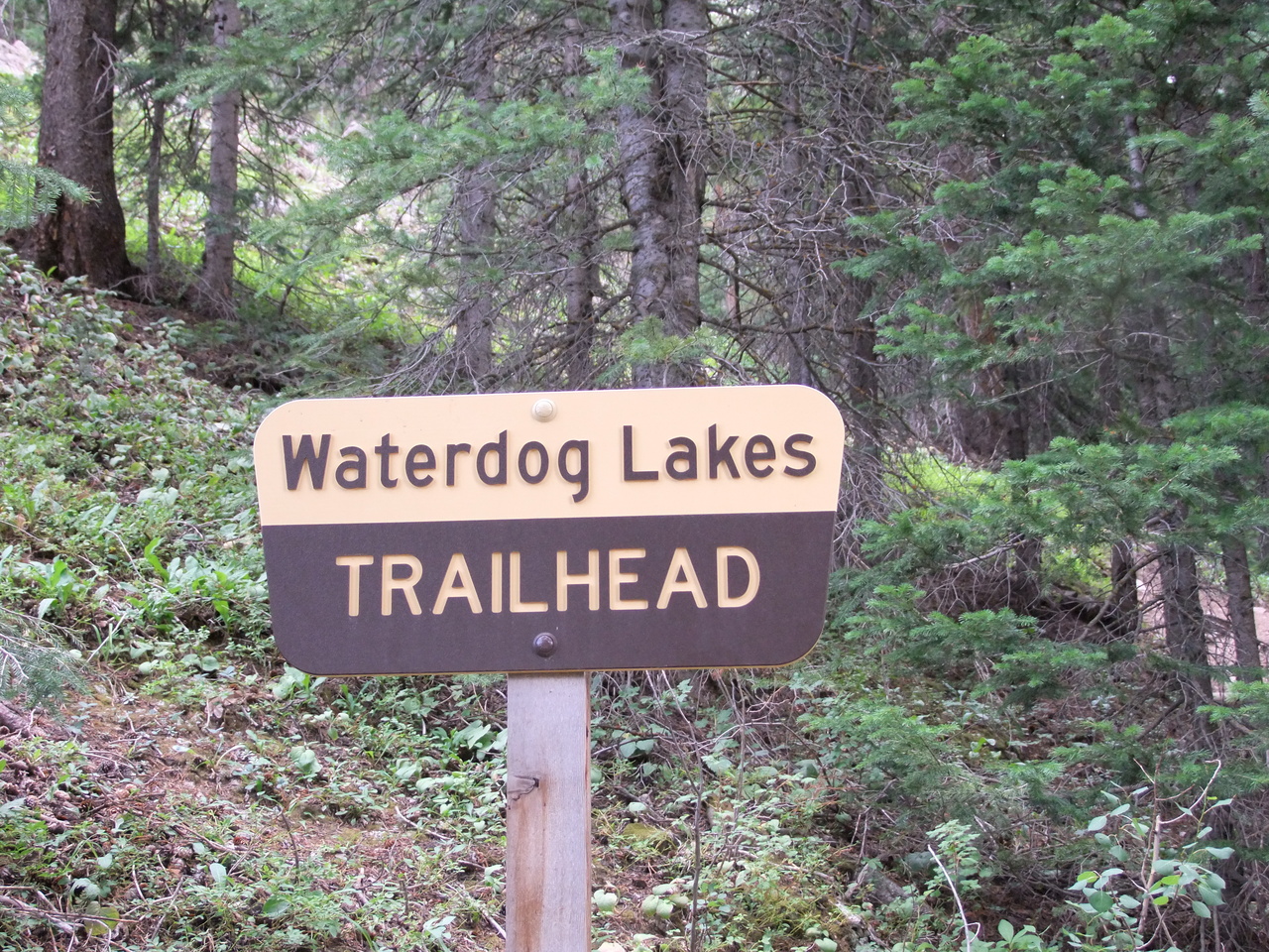
3 of us headed west to hike up to Waterdog Lakes as a warm-up. The trail climbs from 10200 to about 11475 feet over a couple miles. We were only out about a half hour before turning back due to rain and shortness of breath. We’d given our bodies the message that it better start acclimating.
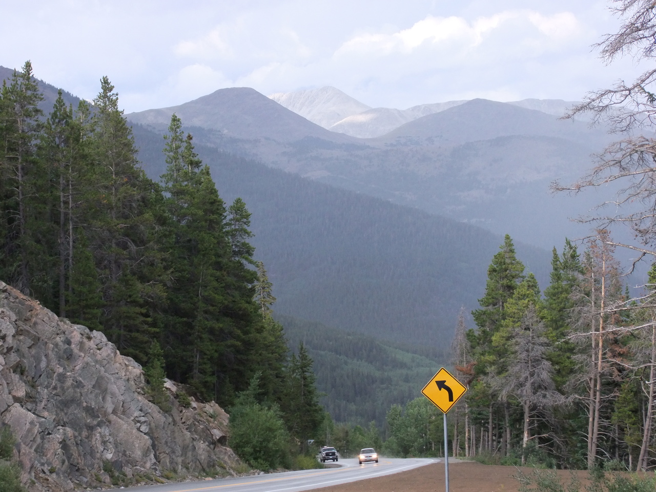
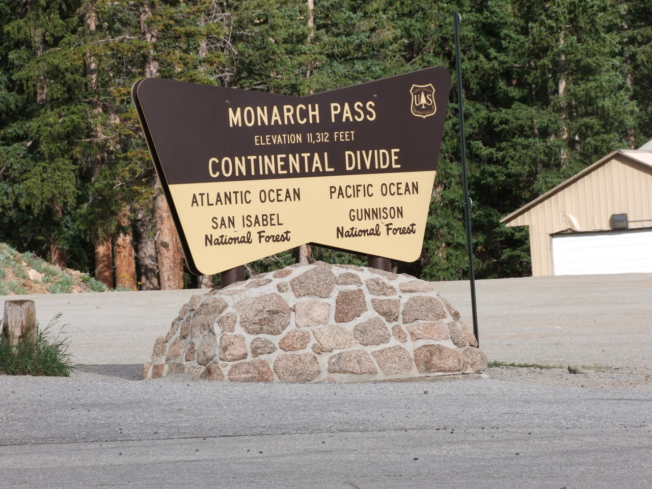
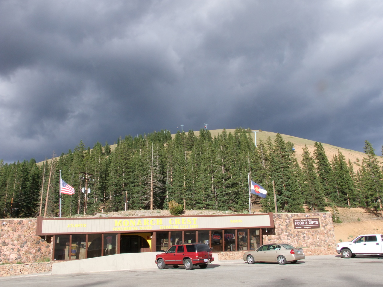
It was only 2 or 3 miles further west to Monarch Pass so we decided to go see what there was to see and then headed back to call it a night.
-

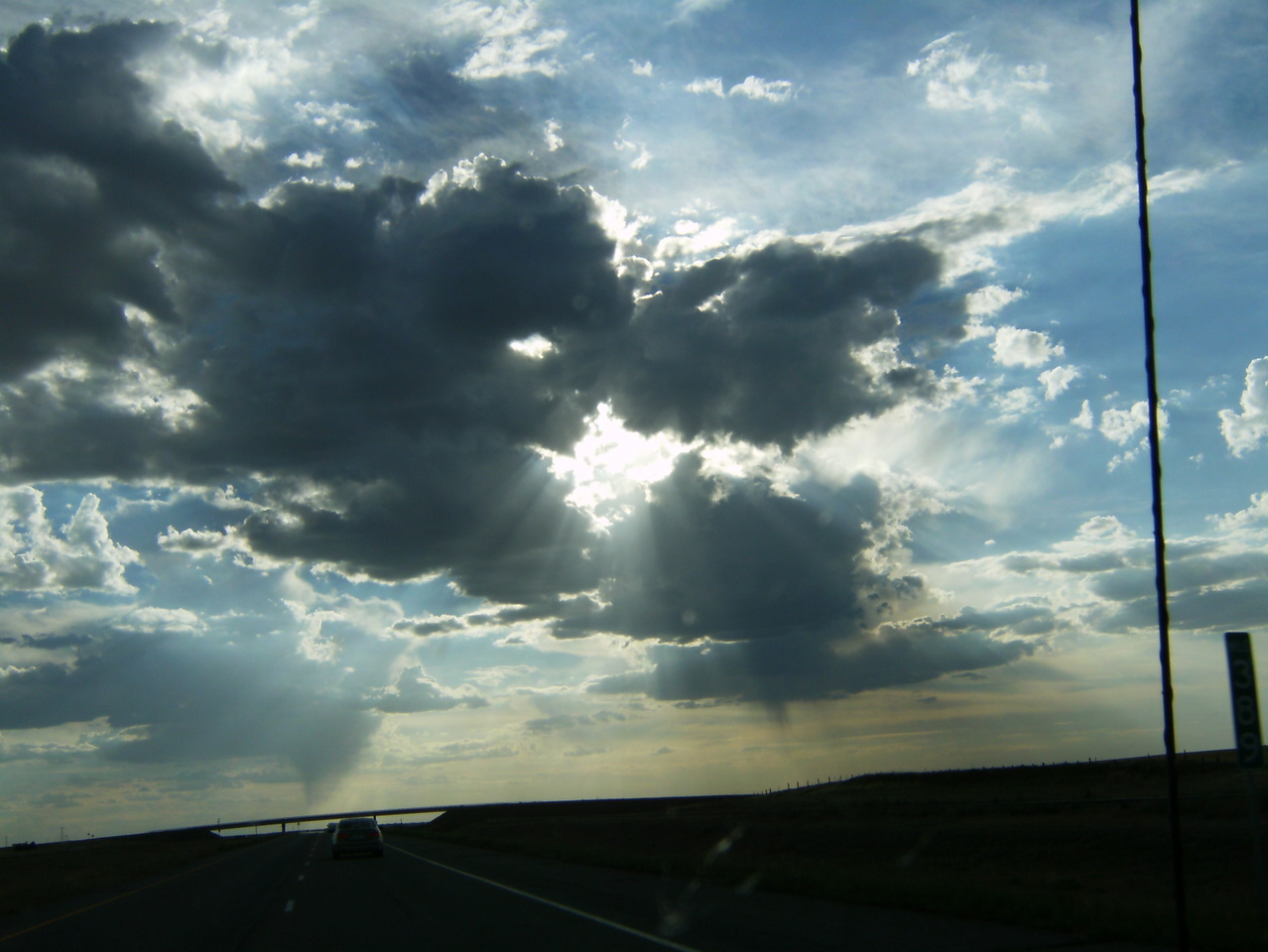
- Outside of Limon, headed to Colorado Springs
-
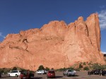
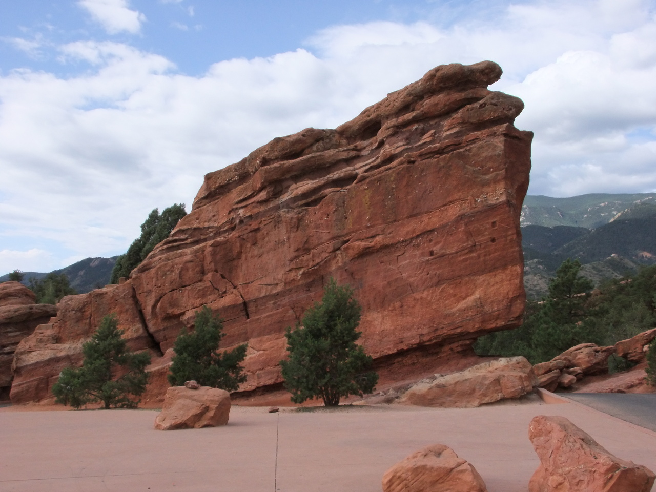
- Garden of the Gods – I think this is North Gateway Rock

-

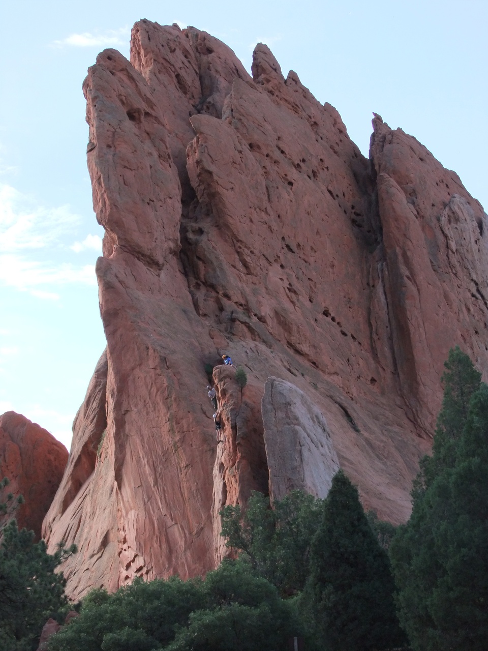
- Garden of the Gods – South Gateway Rock. I think the people in the foreground are climbing Sentinel Rock.
-

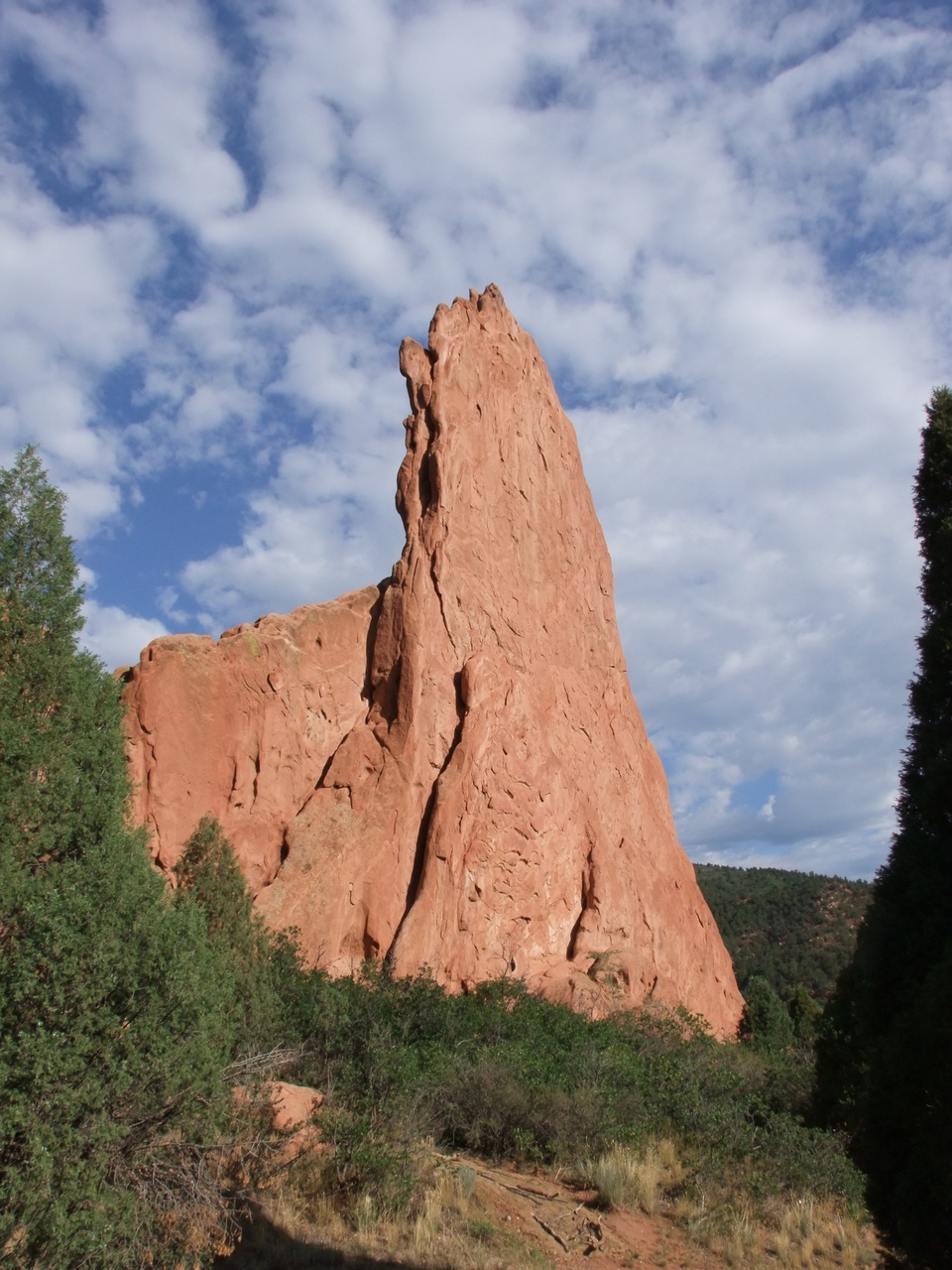
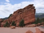
- Garden of the Gods – Cathedral Rock?
-

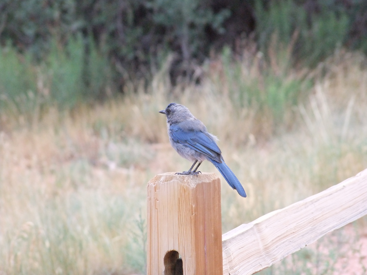
- Garden of the Gods – Scrub Jays were common
-
- Garden of the Gods – Kissing Camels
-
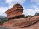
- Garden of the Gods – Balanced Rock

-
- Garden of the Gods – Steamboat Rock
-
- Royal Gorge. It’s hard to find the bridge now because of all the touristy crap and carnival atmosphere that’s grown around it.
-
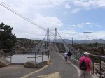
- Royal Gorge – ah, there’s the bridge

-
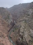
- Royal Gorge – looking downstream
-

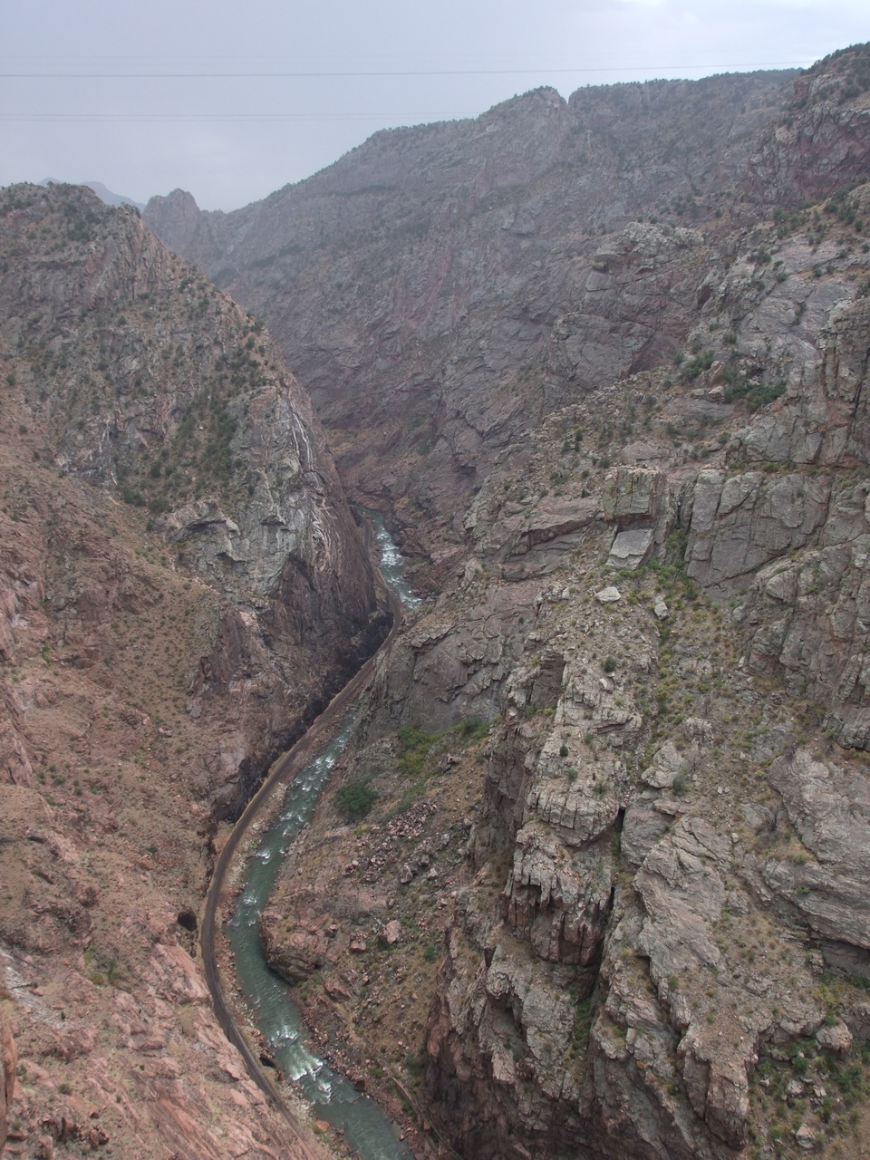
- Royal Gorge – looking upstream
-
- Royal Gorge bridge.
-
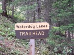
- Waterdog Lakes trail head. Elevation is about 10200 feet.
-
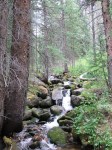
- A common sight along the trail to Waterdog Lakes.

-

- Looking east from the Waterdog Lakes trail head

-
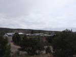
- Looking north from the camp
-
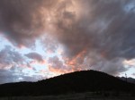
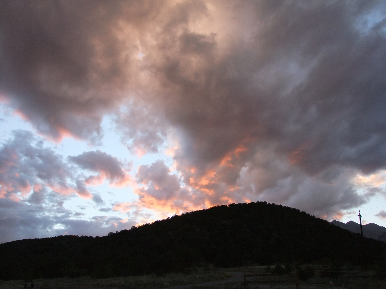
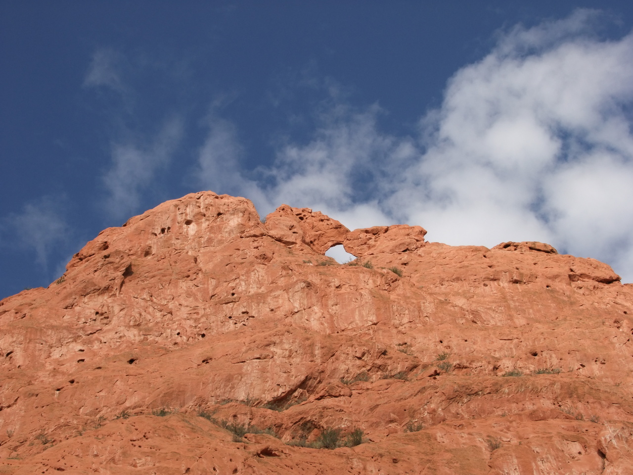
- I thought this kinda looked like a volcano erupting