
The Shores Lake & White Rock trail is a bit east of Ft Smith AR and connects Shores Lake and White Rock Mountain in a 13-mile loop. The northern part of the loop is shared with the Ozark Highlands Trail. A friend and I spent the weekend there seeing what there was to see.
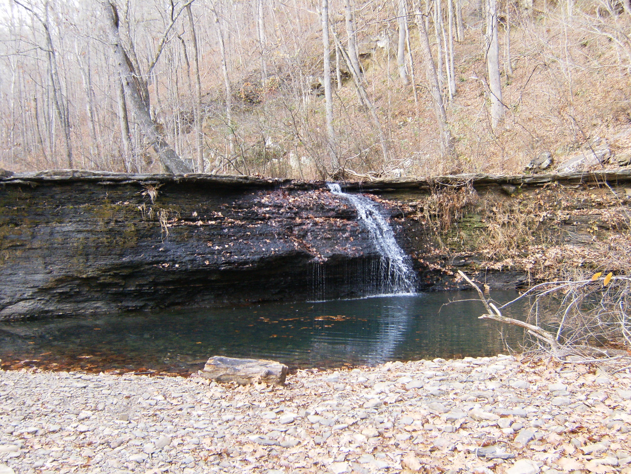
We started at the Shores Lake trail head and did the loop clock-wise. We hiked-in about 3 miles Friday to White Rock Falls. There wasn’t much water flowing but you could tell it would be quite a sight when there is. We found 3 established camp sites in this area and spent the night there. The skies were clear when we started but clouded over around 8 PM and remained that way until Sunday AM.
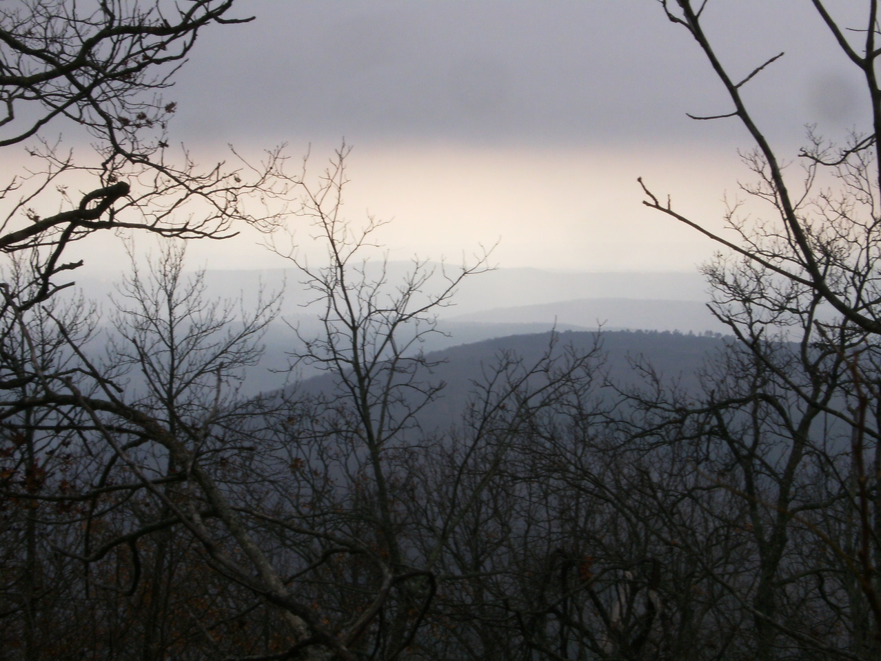
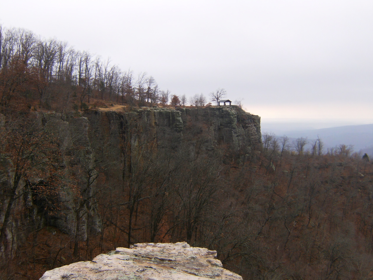
Saturday morning we headed north a short distance along the creek, passing 3 more camp sites, before we started the 1400′ climb. At the point where the trail tops out there is a spur leading to the mesa atop White Rock Mountain where the 2.2 mile Rim Loop trail rewarded us with some pretty great views, despite the cloud cover. The CCC did a lot of building here in the ’30s – cabins, campgrounds, picnic areas, shelters, a lodge, etc. They even built several drinking fountains along the trail, though they no longer function. This place is probably very crowded during the fall color season. Continuing east it was all downhill to Salt Fork Creek and then south about 2.5 miles to another established camp site for the night. Most of the east loop is well above and out-of-sight of the creek but this camp is in a drainage near creek level, though still at least 1/4 mile away.
Sunday we awoke to a temperature of 64 degrees. I was only half-covered by the sleeping bag most of the night because it was so warm. We hiked out the remaining 2.5 miles and headed home with a stop at Cracker Barrel for lunch.
Overall, it was a good trip. Water is readily available so you don’t have to carry a lot. The Rim Loop is a must-see. The weather felt more like September than December, and the warm moist air condensed on the cool rocks and made them a bit slick. The warm temperatures also brought out the ticks.
I’ve been on the road 6 of the last 7 weekends but it’s time for a break. I’ll be sticking closer to home until after the holidays, I think.
-

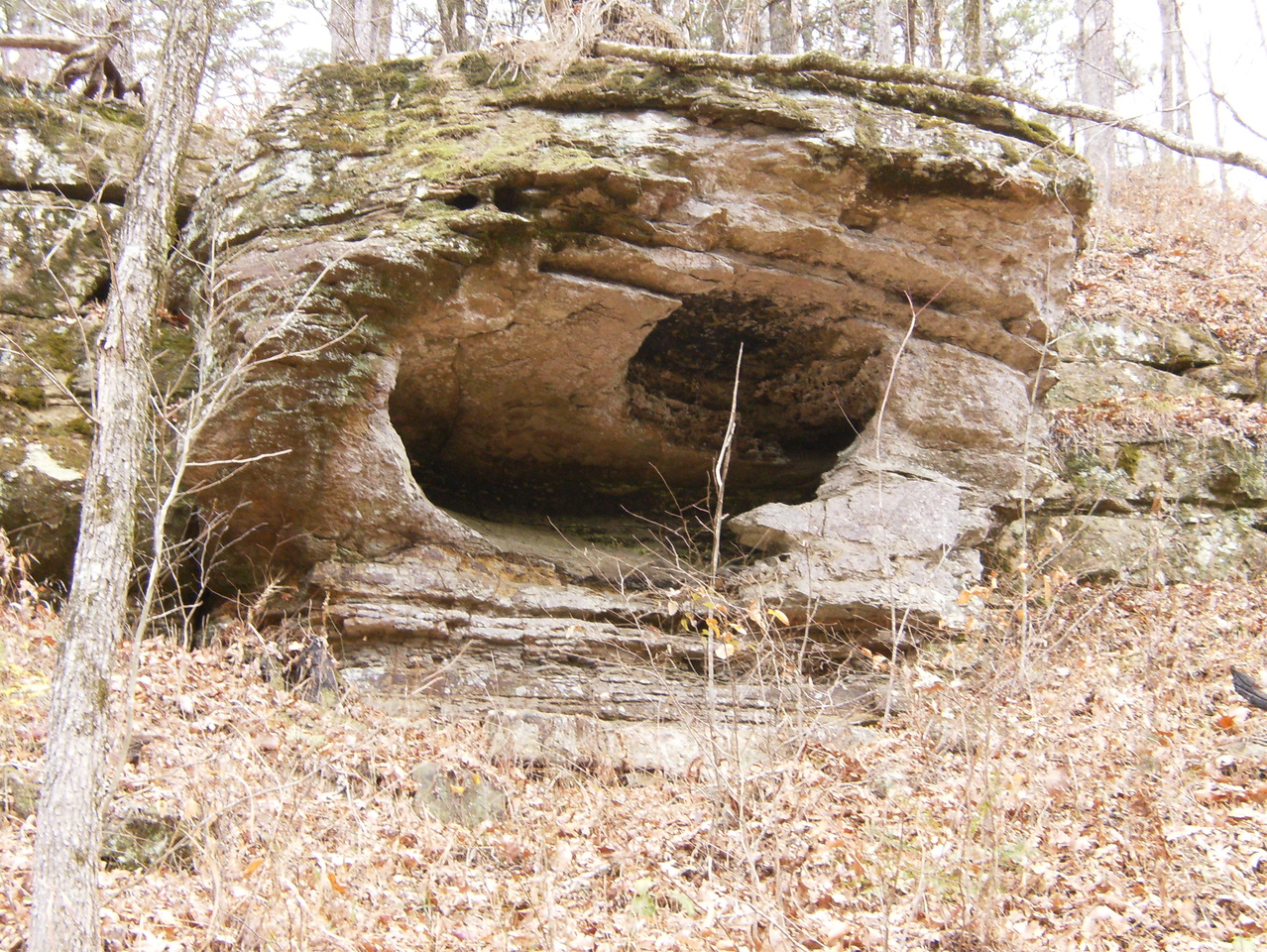
- The waterfall on White Rock Creek. Not much water today.
-

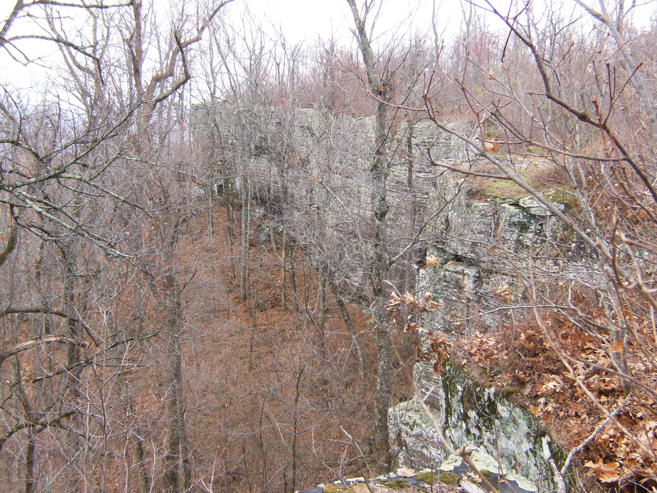
- As you get closer, White Rock Mountain begins to look like a fortress or castle.

-

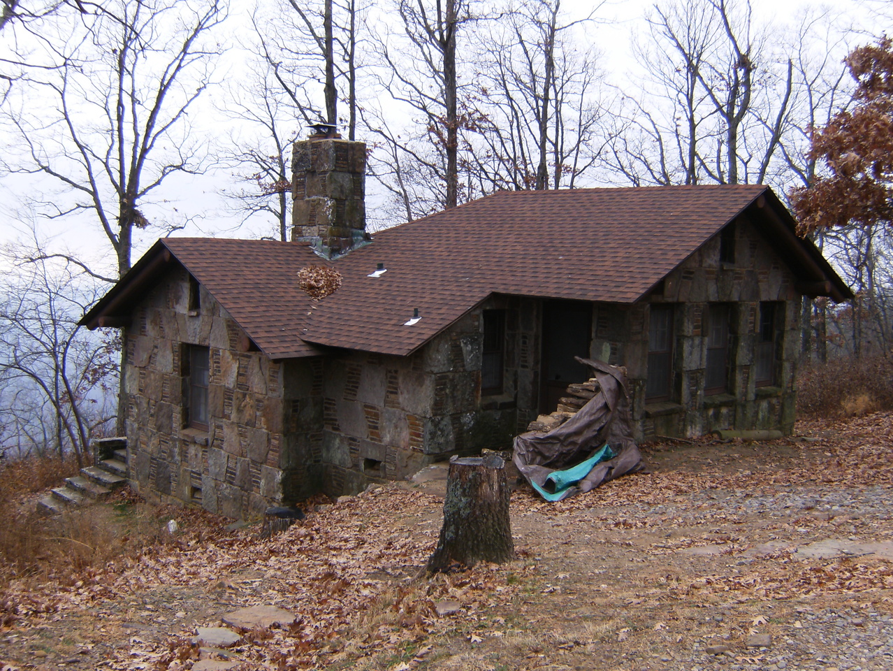
- One of the cabins available for rent on top of White Rock Mountain.
-
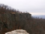
- One of four White Rock Mountain shelters perched on the edge of the precipice.


-
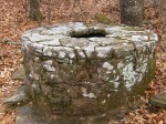
- A wishing well? Built in the 30’s by the CCC, like everything else up here.

-

- A view along the bluff. It does look like white rock, I guess.


Adding this to the list of ‘must dos’. Great vistas, and it’s obvious why this trail would be popular in the fall!
The Forest Service just closed the west side of the loop temporarily so check the status before you go.
http://www.fs.usda.gov/alerts/osfnf/alerts-notices/?aid=15775
Ooh, thanks – it’s along drive to get there and find it closed.
Enjoyed reading this and seeing your pics. Haven’t seen the “wishing well.” Thanks for sharing. I just did a post about White Rock in response to Travel Theme: Mountains. http://wp.me/p2VEN9-6i
Keep hitting the trail and sharing!