
The Redding Loop Trail begins at the day-use parking area in the Redding Campground ($3/day fee) and heads part way up Morgan Mountain, roughly paralleling Morgan Mountain Road (aka FR1504). At the north extremity of the loop are spurs heading west to Spy Rock and east to the Ozark Highlands Trail. The total distance is 8.8 miles around the loop with an out-and-back to Spy Rock.Spy Rock is a promontory jutting from Morgan Mountain above Bowden and Spy Rock Hollows. It features a 200 foot drop and an expansive view of the Mulberry River valley to the south and west. Almost lost in the haze on the southern horizon are the Ouachita Mountains. There is a peak that I previously thought was Mount Magazine but I checked the bearing this time – 220 degrees – and now think it must be Sugar Loaf Mountain, about 60 miles away in Oklahoma.
 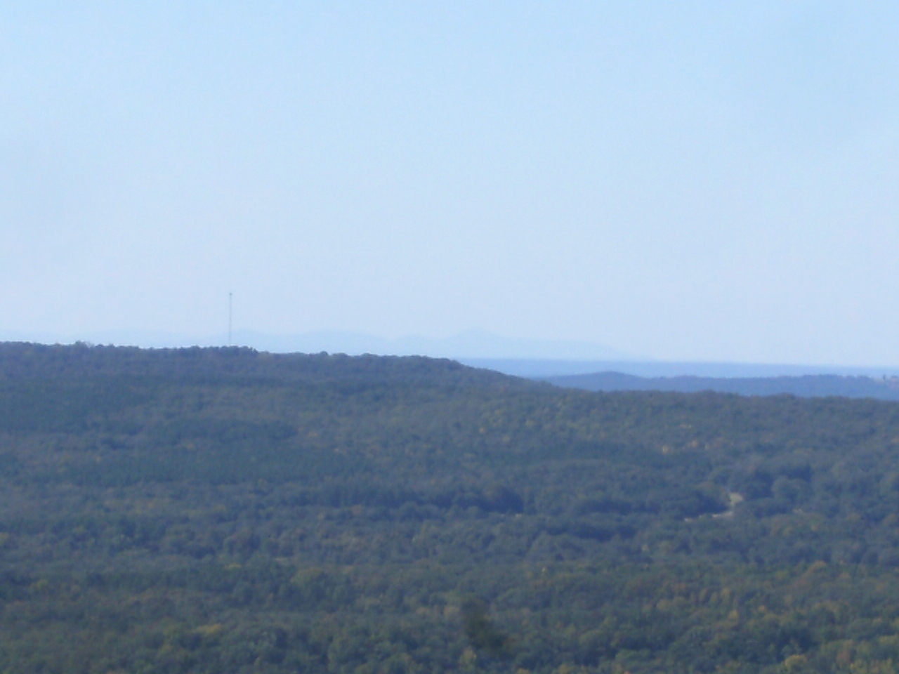 The vista further north on Hare Mountain is probably 500-600 feet higher in elevation but the field of view is narrower.
Both creeks on the west side were dry so there were no waterfalls this time. The trail was in pretty good shape. The signs are at least mostly legible but a couple really ought to be replaced.
The Bikes, Blues, and BBQ Motorcycle Rally was happening nearby in Fayetteville and with such great weather, well, to misquote Julie Andrews “the hills were alive with the sound of motors”. The noise varied in volume but never ever stopped as thousands of bikers enjoyed the views along highways 23 & 215 (and elsewhere).
There is a free parking area south of AR 215 about 3/8 of a mile east of the entrance to the campground (FR 1003). The east side of the loop passes through here so this is a good place to jump on the trail and it also cuts about a mile off the trip.


