
Petit Jean State Park – Arkansas’ first state park and widely considered its crown jewel – is about 25 miles south east of Russellville. It’s close enough to me now and has enough trail mileage that I’m sure it will be a regular destination when I need to get out and stretch the legs and don’t have something else planned.
The main target for me today was the 4.5-mile Seven Hollows Trail. Tim Ernst says it’s one of his favorites and many others have praised it as well. There are several other nice trails there too and they interconnect so you can arrange an all-day hike if you want.
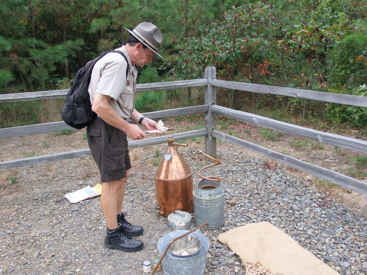
At the trail head, as I prepared to hike, ranger Jones prepared to explain how several area residents used to put food on the table when times were tough. It was an interesting program and was part of the annual Legacy Week celebration. The overall process seems pretty simple but there are lots of details like timing and temperatures that can make a big difference in the finished product.
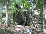
 The Seven Hollows Trail is a 4.5-mile loop that heads south following a creek, then turns east or west (depending on which direction you’re going) across a couple ridges and the hollows between, then turns north and follows another creek back up to the beginning of the loop. There aren’t any big climbs and only a couple very short steep sections but most of it is very rocky so it can still be challenging. The most notable features are the natural bridge and an area called The Grotto. I hiked the loop clockwise.
-

- Arkansas State Parks have some very cool signage.
-

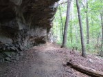
- One of the many caves along the trail. Some are known to have sheltered bears through the winter.
-

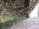
- Iron-rich water stains everything.
-
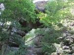
- The front view of the natural bridge.
-
- The natural bridge from the back.
-

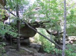
- Rocky glades dominate the high ground between the hollows.

-
- Part of “the grotto”
-
- More of “the grotto”
-

- A (currently dry) waterfall feeds “the grotto”
-

- Every trail needs a feature called “the balancing rock” right?
-
- This trail has two – about 20 feet apart.


I intended to do more hiking but the afternoon heat & humidity convinced me to just play tourist for the rest of the day – this time – so here are some pictures from other sites/attractions in the park.
-
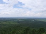
- Richter Overlook. Mt Nebo is right of center, Mt Magazine is in the center, pretty much lost in the haze.
-

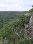
- CCC Overlook, looking south across the Cedar Creek canyon.
-

- CCC Overlook, looking south.
-

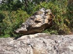
- “Turtle Rocks”, so-called because of the resemblance to turtle shells.
-

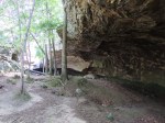
- Looking out of Rock House Cave – actually a bluff shelter rather than a true cave.
-

- Looking across the opening of Rock House Cave.
-
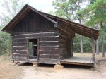
- The Old Pioneer Cabin
-

- The Old Pioneer Cabin
-

- Cedar Falls – a main attraction of the park. The falls are about 90′ high but the canyon carved by the creek is 400′ deep.
-
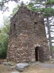
- CCC Water Tower
-

- Looking across at CCC Overlook from Palisades Overlook
-
- Looking up the Cedar Creek canyon from Palisades Overlook
On a future visits I’ll hike the Cedar Creek, Cedar Falls, Canyon, and BSA trails and visit the Bear Cave.


