Mount Magazine’s Dripping Spring Trail begins at the end of the road in the Brown’s Spring campground and runs about 2 miles along the north rim before intersecting Tower Road near the west end of the plateau. I suspect it’s the least-used of the trails, perhaps because it doesn’t appear in any park brochures or trail guides (that I’ve seen), or maybe it’s because the park officially calls it a fire break. The visitor center does have a separate write-up if you ask for it.
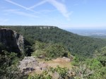
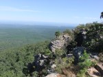
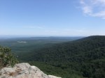
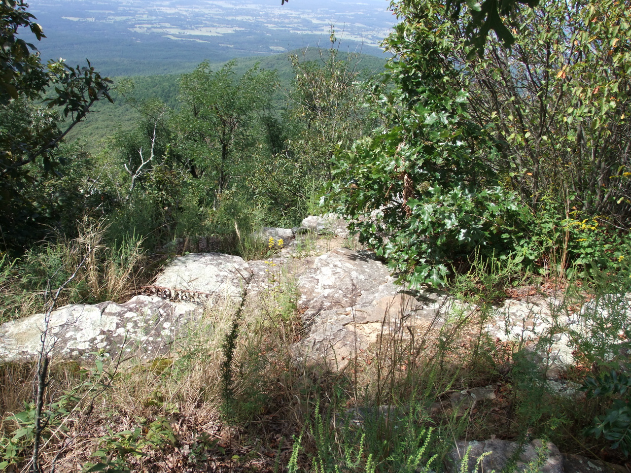
The trail appears to be an old road so it doesn’t hug the rim like the North Rim Trail does but there are still several areas where you can easily access the rim for great scenic vistas, elsewhere bushwhacking will be required.
Other features along the way include Mount Magazine Cascade, where water cascades about 100′ down a steep rocky area. It was only a trickle during my visit. There’s also Lori Falls, which I didn’t notice due to low flow perhaps.
About 1.3 miles from the trail head you come into the site of the old Dripping Spring Recreation Area. There is still a toilet building visible in the middle of what used to be a large clearing, and there are probably other artifacts too. It’s at about this point that you can take a detour down the slope to the base of the bluff to find features like the Needle’s Eye, Dripping Spring, The Window, and Fern Cave before climbing back to the rim through Bajada a la Ventana. This route looked like something I shouldn’t do solo so I skipped it this time.
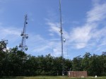
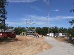
The trail ends at one of the dozens of radio towers. If you want to get to Sunset Point on the west rim, walk the road south a short distance until it intersects Tower Road, then turn right (west) and walk to the end. Across the road from the Cox Communications tower is a small ledge that I think must be Sunset Point. There’s a lot of sumac growing here and I suspect the ledge was much more open back when there were more people than radio towers out here.
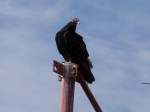
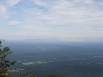
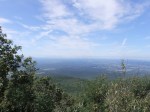
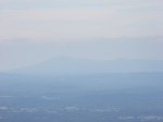
 Though small, it still has a great west view – maybe the only one on the mountain. I had lunch out here with a flock of Turkey Vultures keeping an eye on me and perhaps waiting for leftovers. I could see Sugar Loaf, Oklahoma Peak, and Midland Peak near the Oklahoma border south of Ft Smith, Cavanal Mountain west of Poteau, OK, and what is probably Poteau Mountain as well. I wouldn’t be surprised if Rich Mountain were visible.