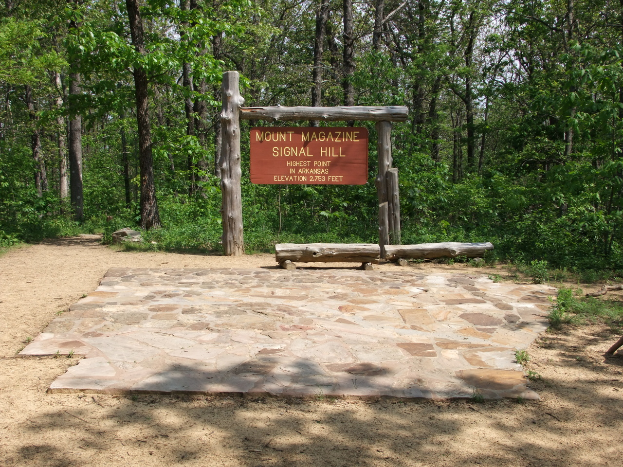
The first stop on the Memorial Day Road Trip after leaving Fort Smith was Mount Magazine – the highest point in Arkansas at 2753 feet. There is a 9.5 mile multipurpose trail that runs from Cove Lake to near the top but I drove (this time). There are a couple scenic overlooks on the way up and at least three more at the top plus a great visitor center, several picnic areas, a campground, and even a place to launch hang gliders.
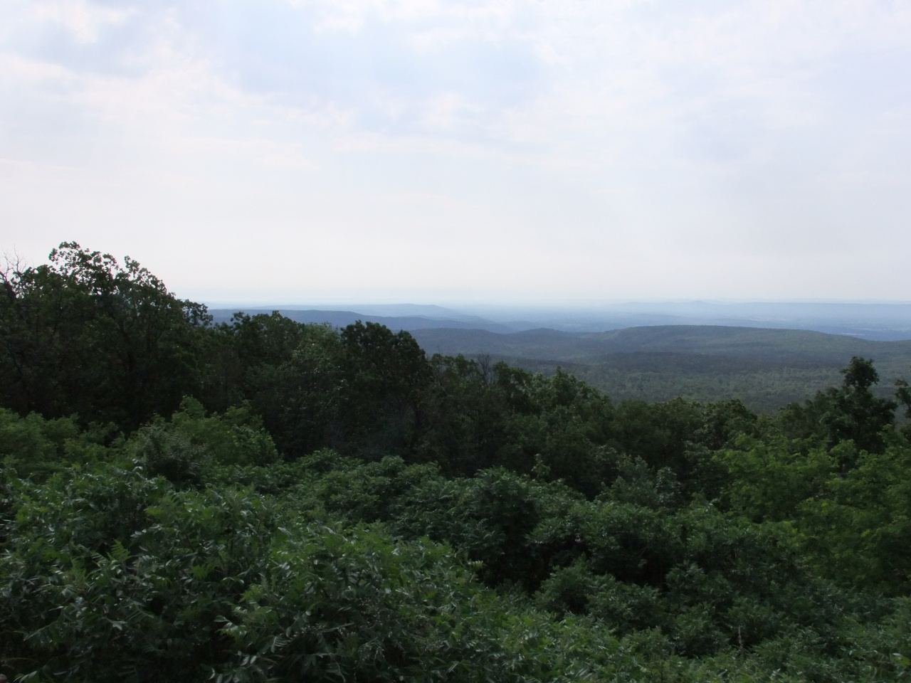
Looking south at the Ouachitas from “the second overlook” on the way up to the top.

Looking north over the Arkansas River valley to the Boston Mountains from Cameron Bluff.
The road circles about 150′ below the peak so if you want to get to the top you have to get out and walk the Signal Hill trail (0.8-1.5 miles round trip depending). There’s no view from the top but there is a neat “map” of Arkansas built from rock native to the region it represents on the map.