
I got out to do some hiking at Mount Nebo the last 3 mornings. Rising about 1300′ above its surroundings, it’s a rather prominent feature with some great vistas. The last time I was up there was also my first – a summer 2013 trip to scout the Russellville area before moving to Arkansas. We’ve had some foggy mornings recently so I couldn’t get pictures of the surroundings this time – see the older post for that. The Visitor Center has a brochure with a map of all the trails, and is one of several trail heads.
The Rim Trail is the star of the show, encircling the top of the mountain for about 3.5 miles as it winds up and down through a bluff. Scenic vistas abound, as does CCC handiwork. The trail has some very easy parts and sometimes passes through the back yard of cabins/houses or skirts a campground but is still a worthy hike.

The Rim Trail

Exotic-looking Passion Flowers are abundant on the exposed slopes.

The mimosas are still blooming.

The Bench Trail is an old road that circles the mountain, mostly on a natural bench about 200′ below the rim. With probably no more than 30-40′ of elevation change in its 4 mile length it’s a pretty easy hike, is popular with runners and bikers, and is apparently open to equestrian use though I saw no evidence of such usage. There are 10 walk-in camp sites along this trail (permit required). A short road walk is needed between the Bench Overlook and the Bench Trail Parking area. The area is thickly wooded and I think the only scenic vistas are the Bench Overlook and a power line cut a bit west of there.
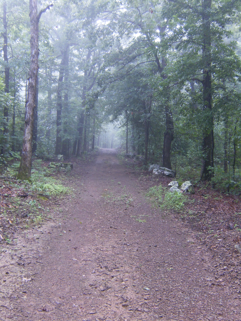
A typical view of the Bench Trail.
There are also 7 connector trails that run between the Rim and Bench trails, most built for access to springs. These trails are steep and can really add some challenge to the hike.
A great conditioning routine would be to make one or more laps around the mountain, taking each connector as you come to it to alternate between the Bench and Rim Trails. Each lap would probably be about 5 miles with at least 800′ of elevation gained and the same lost. Change directions for variety.


