

Rather than make trip #7 to the Wind River Range, RC, TC, CC, and I opted this year to begin our late-summer trip with a 4-day, 21-mile loop across the Beartooth Plateau in the Beartooth Mountains of NW Wyoming & SW Montana.
This trip is described in Doug Lorain’s Backpacking Wyoming (trip #6 in first edition) and Beartooth Publishing has a great map for this area. Here’s one I made for the trip. Much of the route is in or on the edge of the Absoroka-Beartooth Wilderness. It begins at Beartooth Lake in Wyoming (in the shadow of Beartooth Butte) and crosses into Montana before returning to Beartooth Lake. This is an area where everything seems to be named Beartooth-something. Indeed, it’s accessed from the super-scenic Beartooth Highway.
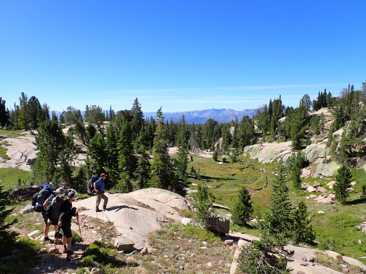
We did the loop clockwise so the basic plan was to hike NW from Beartooth Lake on the Beartooth High Lakes Trail (#619), turn east (and off-trail) at Wright Lake following a string of lakes to Jasper Lake, turning SE and following another string of lakes to intersect the Beartooth Lake Trail (#621) near Beauty Lake, then following the trail SW back to the trail head. About one-third of the route is above treeline and about half is officially off-trail. There are social trails in some areas, especially around the lakes. With no trees to hamper visibility, navigation in the higher (off-trail) altitudes was easy, with only an occasional need to reference the compass. The high-altitude areas tend to be grassy rather than bare granite (like in The Winds).
We spent the night before the trip in Cody WY. The morning of, we headed north to Red Lodge MT so we could drive US212/Beartooth Highway. It was not the shortest route to the trail head but it was very scenic and might have been a once-in-a-lifetime opportunity. You never know when this highway might be closed due to snow or rock slides so check before you go.


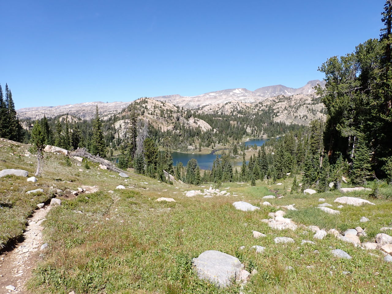
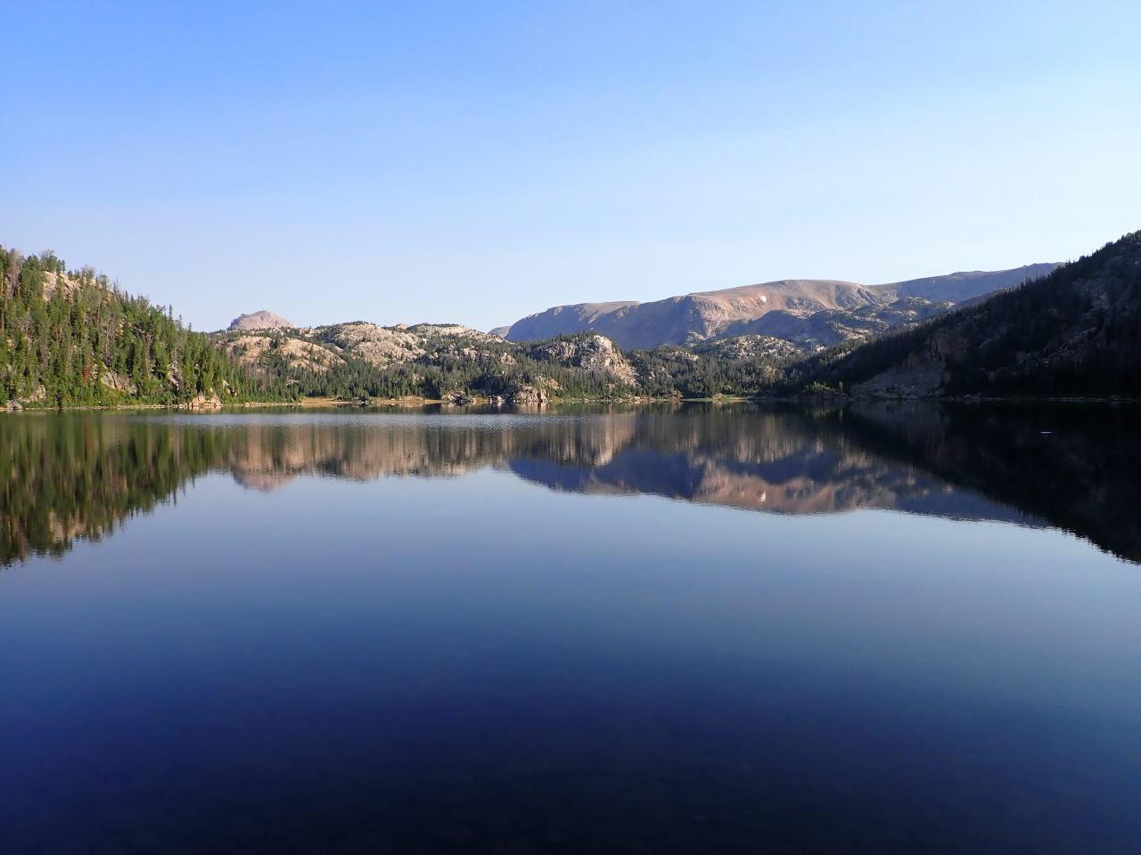
Sunday: From the trail head at about 8900′ we hiked steadily uphill following Beartooth Creek for 4 miles to the pass where it begins at about 10000′. After that the trail becomes more ups-and-downs for the next 2.5 miles until we reached an unnamed lake just short of the state line and made camp for the night. Several groups passed us on their way out. We seemed to be the only people headed in.

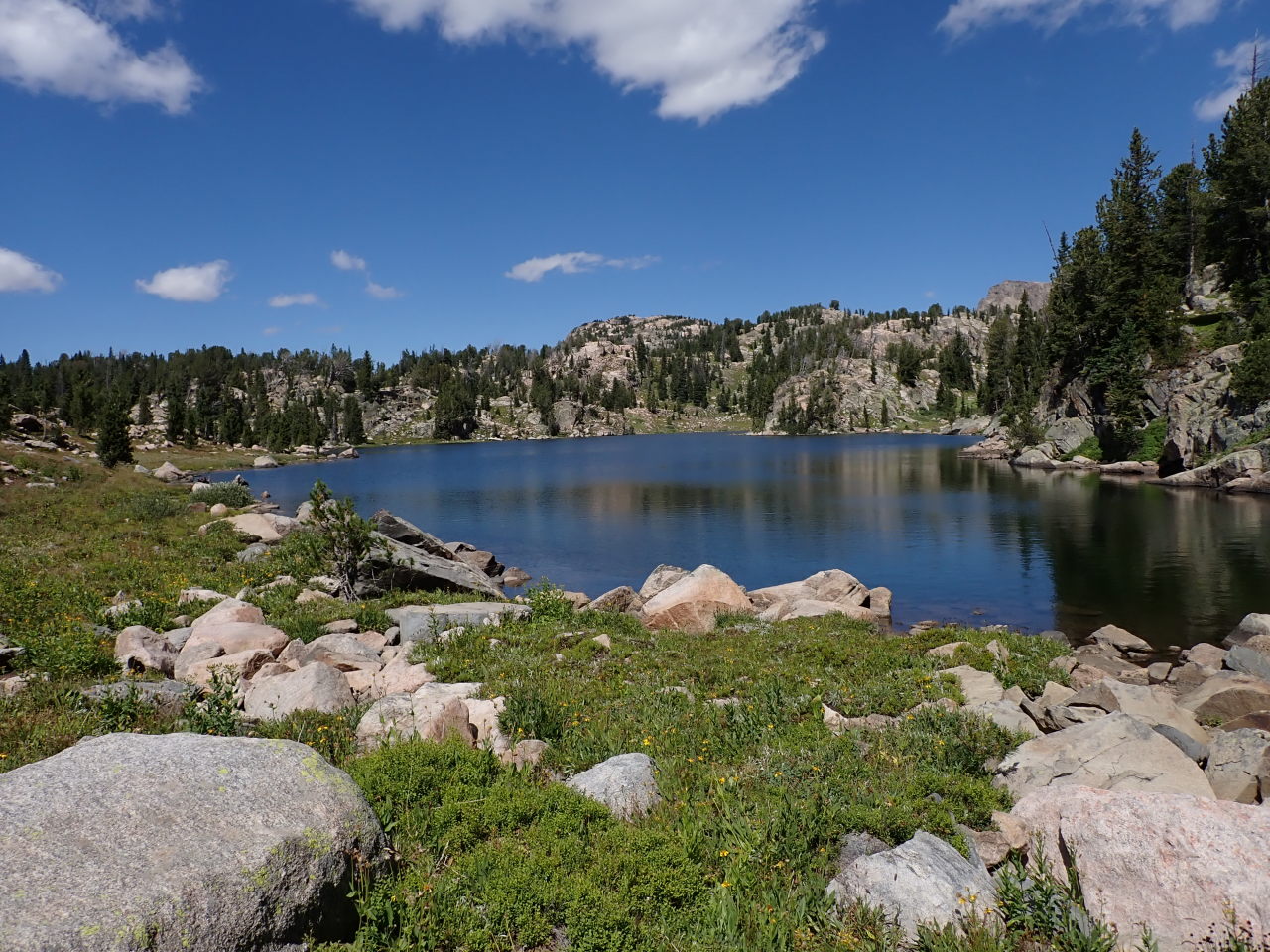
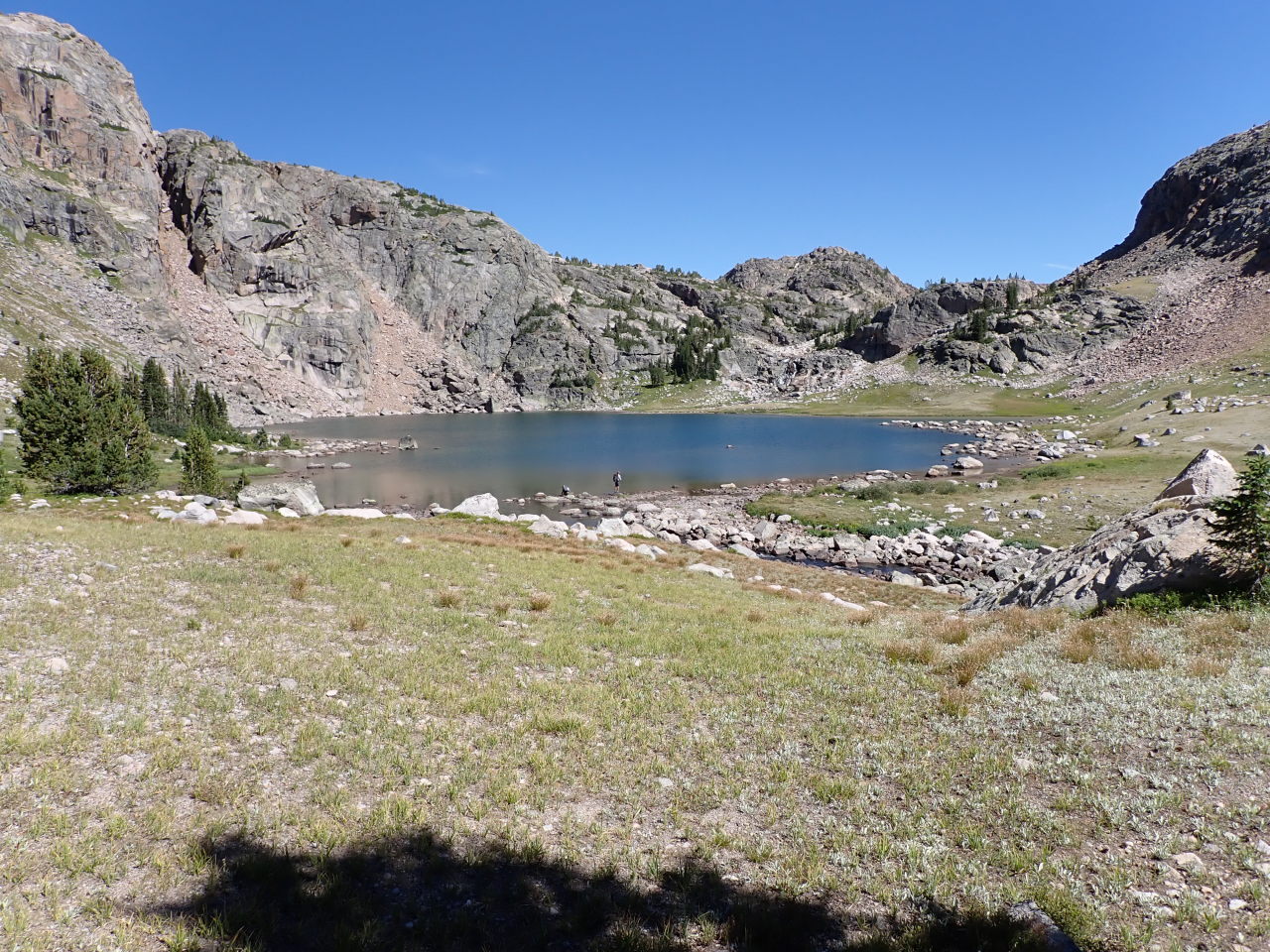
Monday: More ups and downs as we continued north a couple miles to Wright Lake. Here we left the trail and began the eastward part of the route, heading around the north side of Wright Lake. We crossed the inlet and immediately started around the south side of Martin Lake. There’s a boulder field here but it’s much shorter than going around the north side. We followed the Martin Lake inlet up to Rachel Lake and went around the south side. There’s a nice waterfall at Rachel’s inlet, and we followed the inlet up to the first Cloverleaf Lake, skirting the south side before a small climb to the second Cloverleaf Lake, where we made camp. A couple backpacker/fishermen passed us on our way up to Rachel Lake. They headed back out the next day.


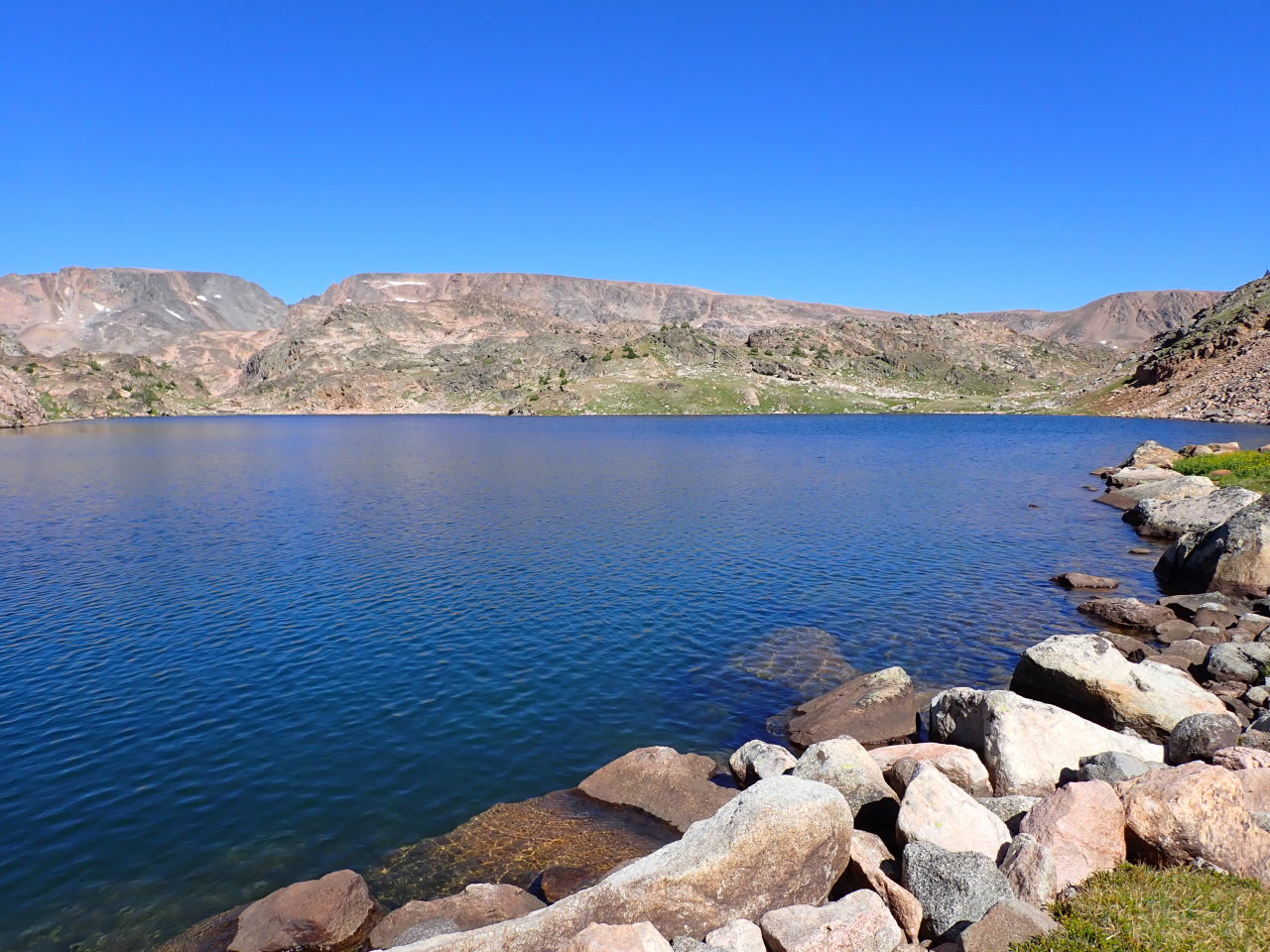


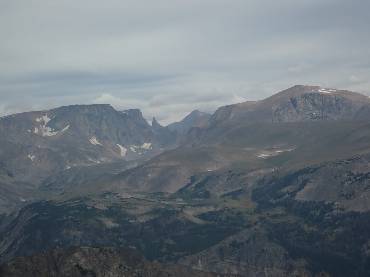
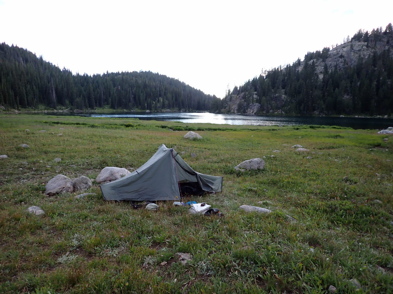
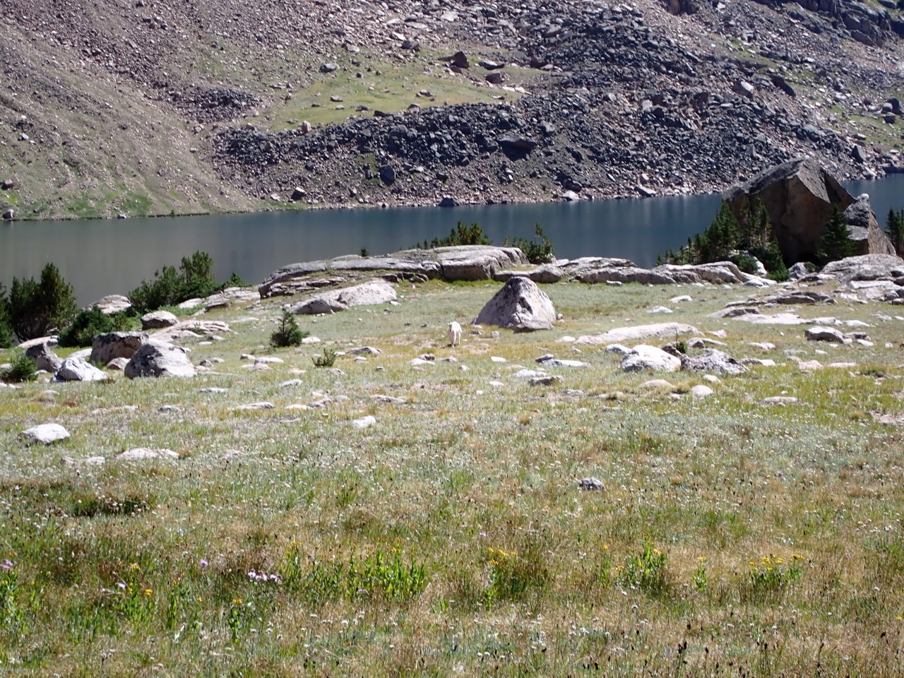
Tuesday: We went around the south side of Cloverleaf Lake #2, then up a drainage to Arrowhead Lake and further up to a saddle at 10420′ – the route’s high point. From here we could look ahead at Jasper Lake, knowing that beyond we have more downhill than up as we began the southward leg of the route. We descended about 300′ to pass Jasper Lake on the west and spotted a lone male mountain goat grazing. He watched warily as we passed. At the southwest inlet there was a camp site with a couple tents and gear scattered as if they were having a yard sale. No sign of people. We climbed about 200′ to another saddle where we can look across Albino Lake 400′ below. We passed it on the west then went along the south shore to the outlet, which we followed down to Becker Lake, passing it on the east. We then passed 3 small unnamed lakes before intersecting the Beartooth Lake Trail (#621) for the remainder of the route. We headed a short distance to our final camp site on the east side of Beauty Lake. An ermine kept us entertained for awhile. We saw two people camped near the Albino Lake outlet.
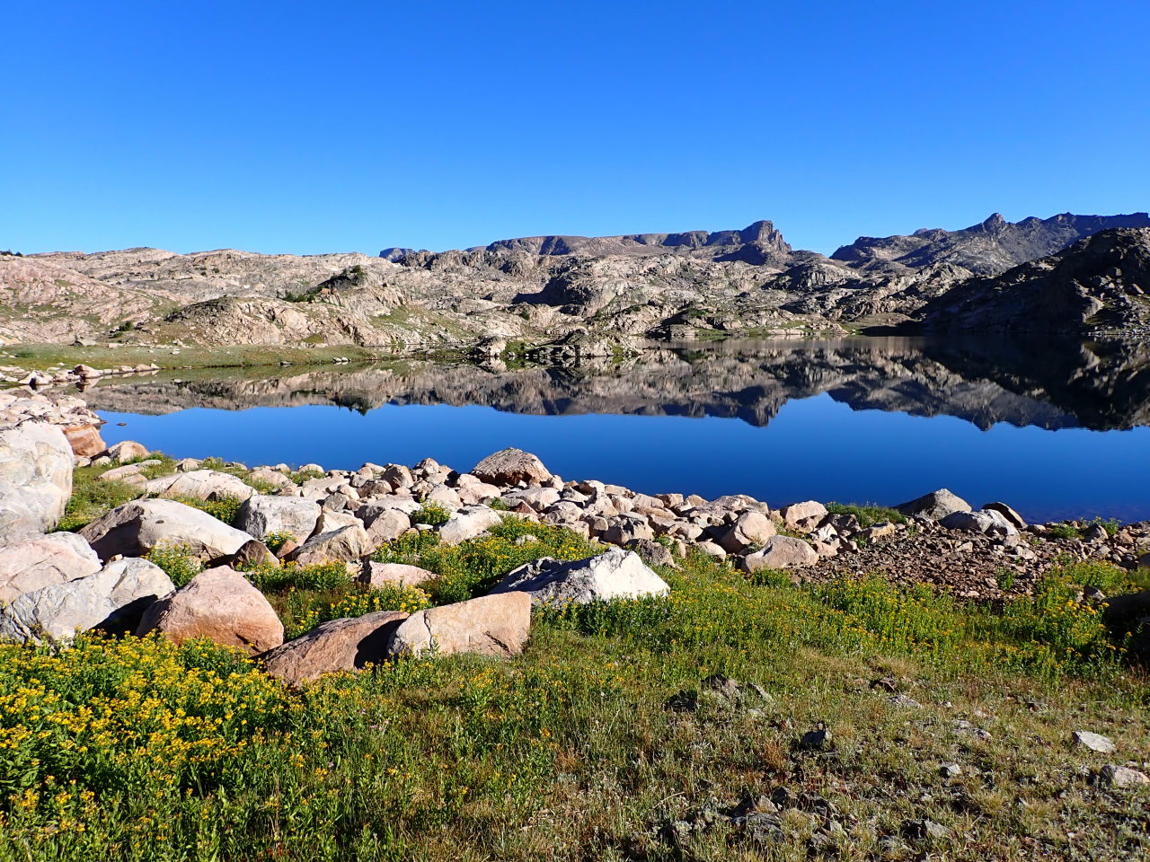


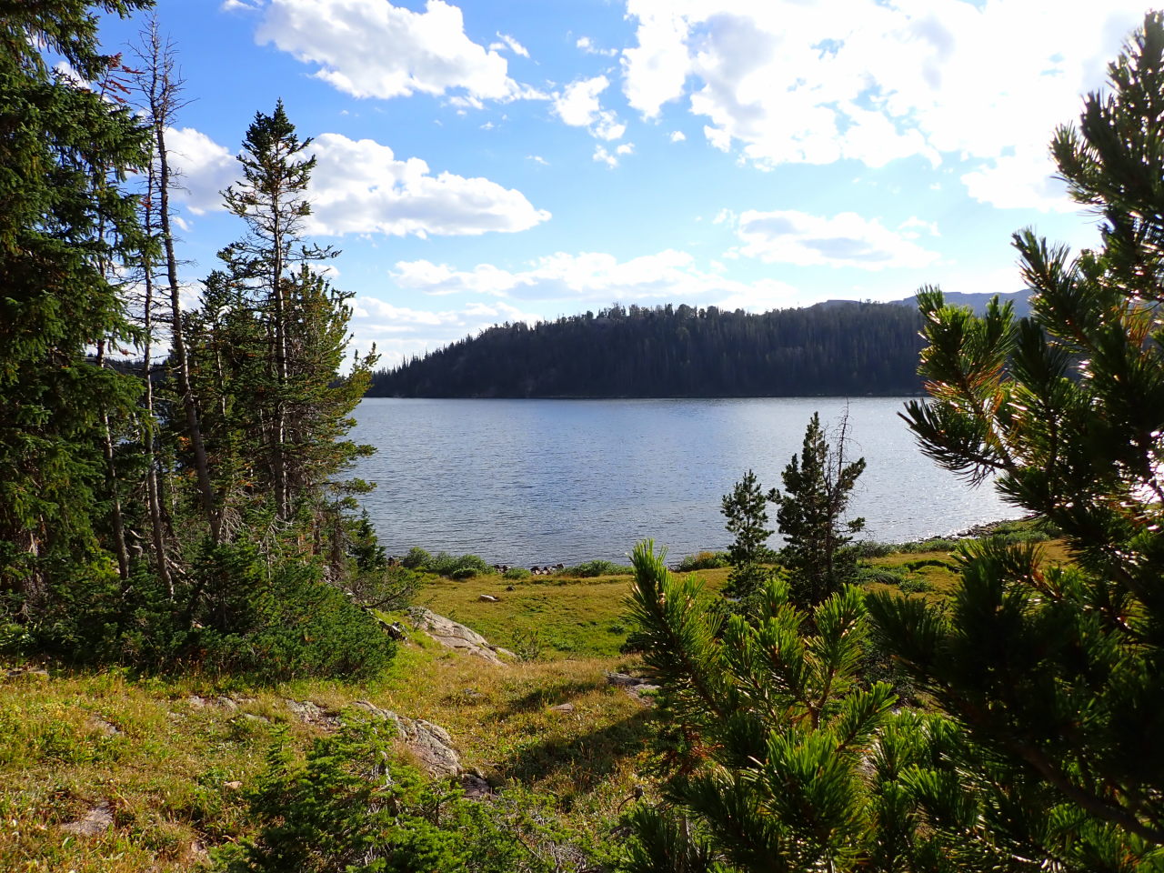

Wednesday: We continued south on the trail along the east side of Beauty Lake, skirting Grant Lake to the west and finished the last mile back down to Beartooth Lake. Mission accomplished.


We continued driving west on the Beartooth Highway through a major construction zone and then south east on the Chief Joseph Highway (WY-296) back to Cody. The original plan was to continue west through Cooke City to our next destination but major floods in June destroyed large stretches of the Beartooth Highway in that area and beyond. The Chief Joseph Highway has a lot of great scenery too, and some history.


Mike, three of us re-created this route last week 9-23-24 (Beartooth Plateau in case the comment isn’t attached right). It was probably all three of our favorite multi-day trip, of dozens over the years. Thanks for the info…likely would not have discovered this route without you! Nothing to add to your trip report except to note that the scree fields (most of the bushwack section) would be super dangerous with really any snow or ice and maybe that should have been obvious from the pictures.
Oh, also we did it clockwise too, and all agreed we prefer that direction.