The BSA (Boy Scouts) trail is a 12-mile loop that serves as a “backbone” for Petit Jean’s trail system, connecting all the shorter trails and sometimes sharing the path with the Seven Hollows and Cedar Creek trails.
One part that I hadn’t hiked until today was from the Rock House junction around to Blue Hole. The part north and west of Red Bluff Drive is an old CCC-built road (now gated) all the way except for the last hundred yards, so it’s a pretty easy walk with some nice CCC handiwork on display. The area was very quiet and felt nicely isolated. I imagine this is the least-used part of the whole trail system.
Note the map linked above is not accurate but is the best I’ve found on-line. It shows this northern part of the BSA trail in the dark green of the Rock House trail when it should all be blue. The Rock House trail is actually just a 0.25 mile spur from the parking lot. It also shows the Canyon trail making a creek crossing upstream of Blue Hole when it does not (any more?).
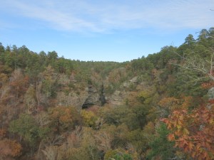
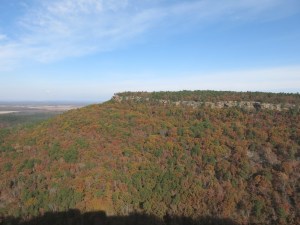
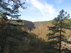
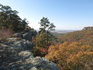
The autumn color is near the peak here, and I think it made some nice photos.

-
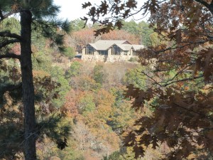
- The back side of the Mather Lodge, overlooking Cedar Creek Canyon