
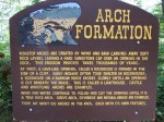
The one stop I planned during my drive back home from Virginia was the Red River Gorge Geological Area (RRGGA) in eastern Kentucky. This is 29000 acres of the Daniel Boone National Forest protected since the 1960’s when it was to be flooded by a dam. Combined with the 12600+ acre Clifty Wilderness to the east and Natural Bridge State Park to the south, there can be found over 100 natural bridges and arches along with numerous rock shelters, cliffs, caves, and other formations. It’s definitely a geological wonder, and has been on my to-do list for a while. In the one day I spent here, I barely scratched the surface.
In addition to a network of local trails, the 319-mile Sheltowee Trace trail passes through this area. It runs from near the Tennessee state line in the south to near the Ohio state line in the north, almost all within the Daniel Boone National Forest.
There was a severe storm early in the morning and more rain in the forecast when I left the motel for the RRGGA. I encountered a few sprinkles on the way and a lot of fog upon my arrival.
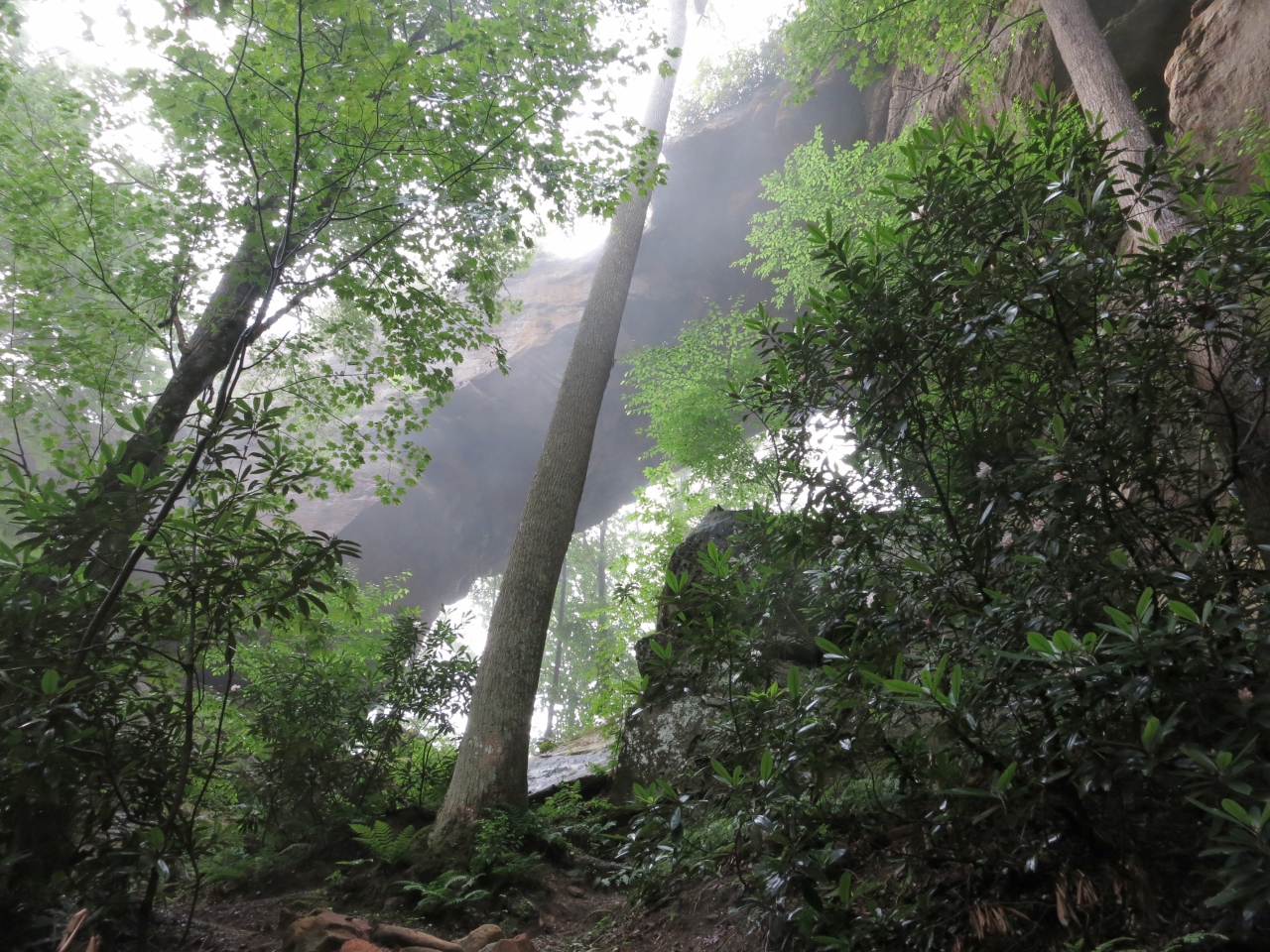
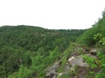
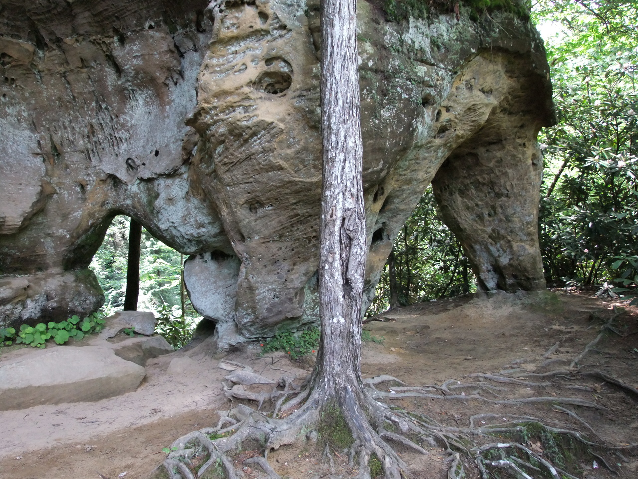
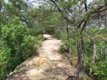
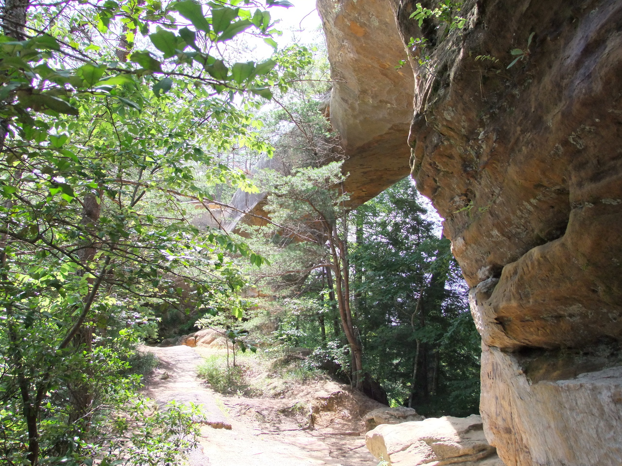
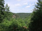
I began my tour with a trip to Grays Arch – apparently the largest in the area with a span of 80′ and a height of 50′. It’s possible to hike 2.2 miles out-and-back and it looks like that’s what most people do, but I elected to do the 3.3 mile loop that combines parts of the Grays Arch, Rough, and Rush Ridge Trails. I saw my first Big Leaf Magnolias here. Even trees that were only 20′ tall had leaves about 18″ long. I wish they were blooming like the rhododendron were. The fog and low light levels made most of my arch pictures way too dark. As I climbed out of the canyon the fog lifted, clouds parted, and the rain stopped for the rest of the day.
-
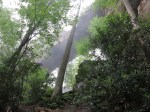
- Grays Arch
-
- Grays Arch

-
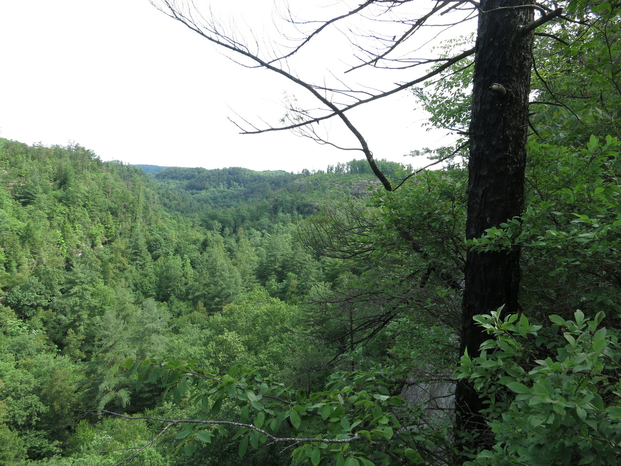
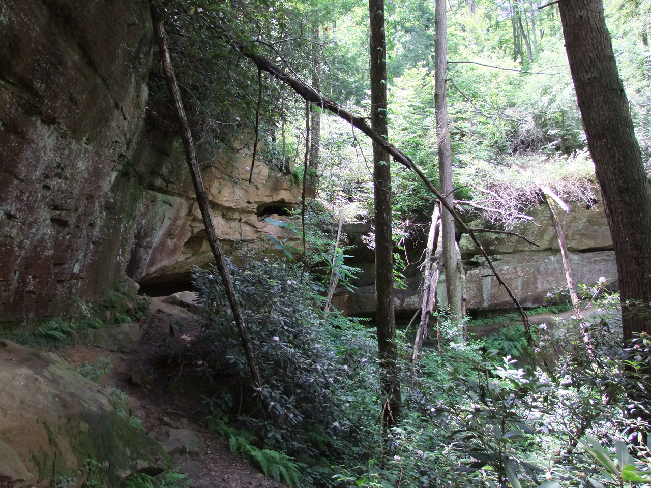
- King Branch

-

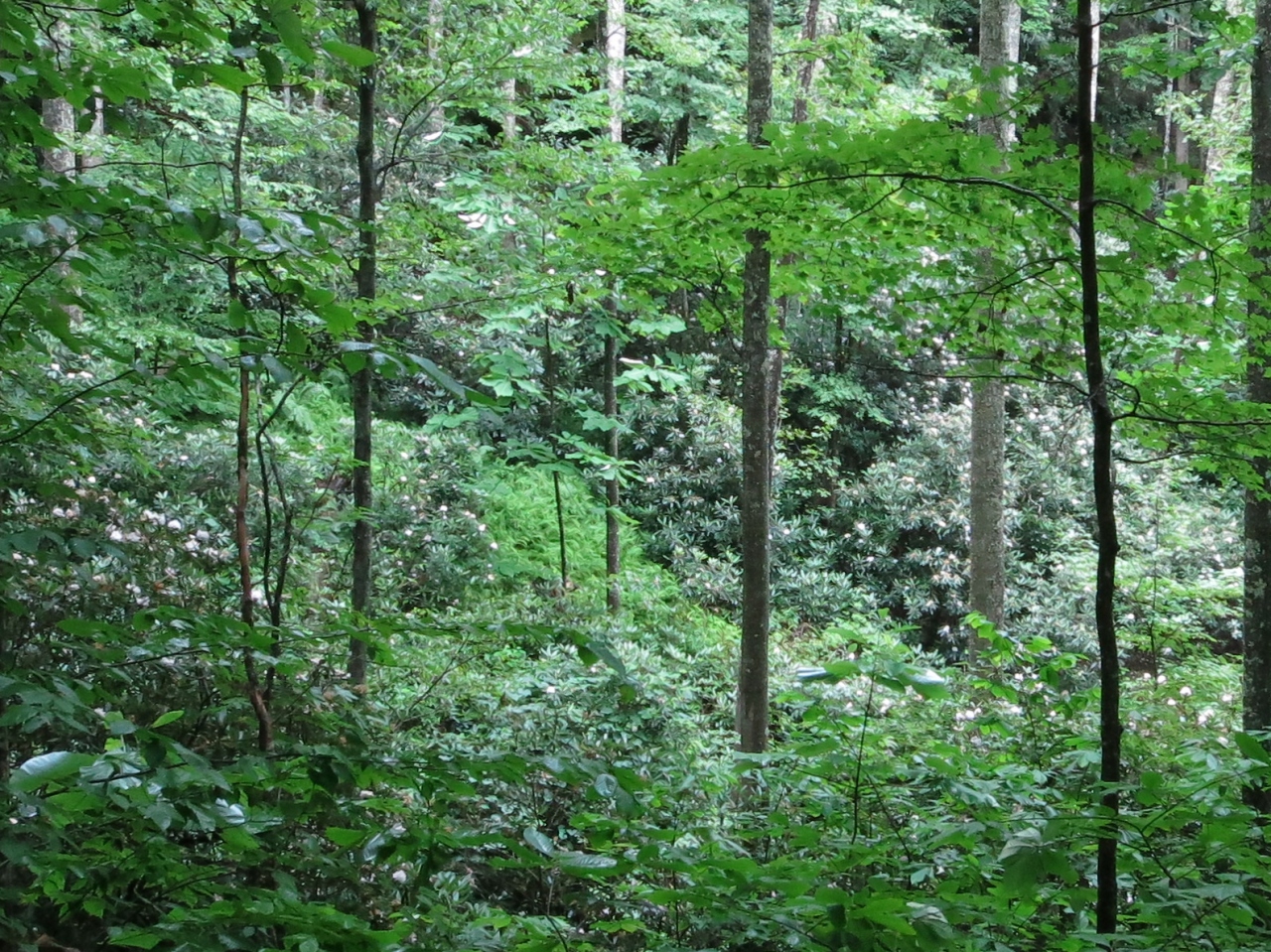
- A hillside covered by rhododendron
-
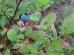
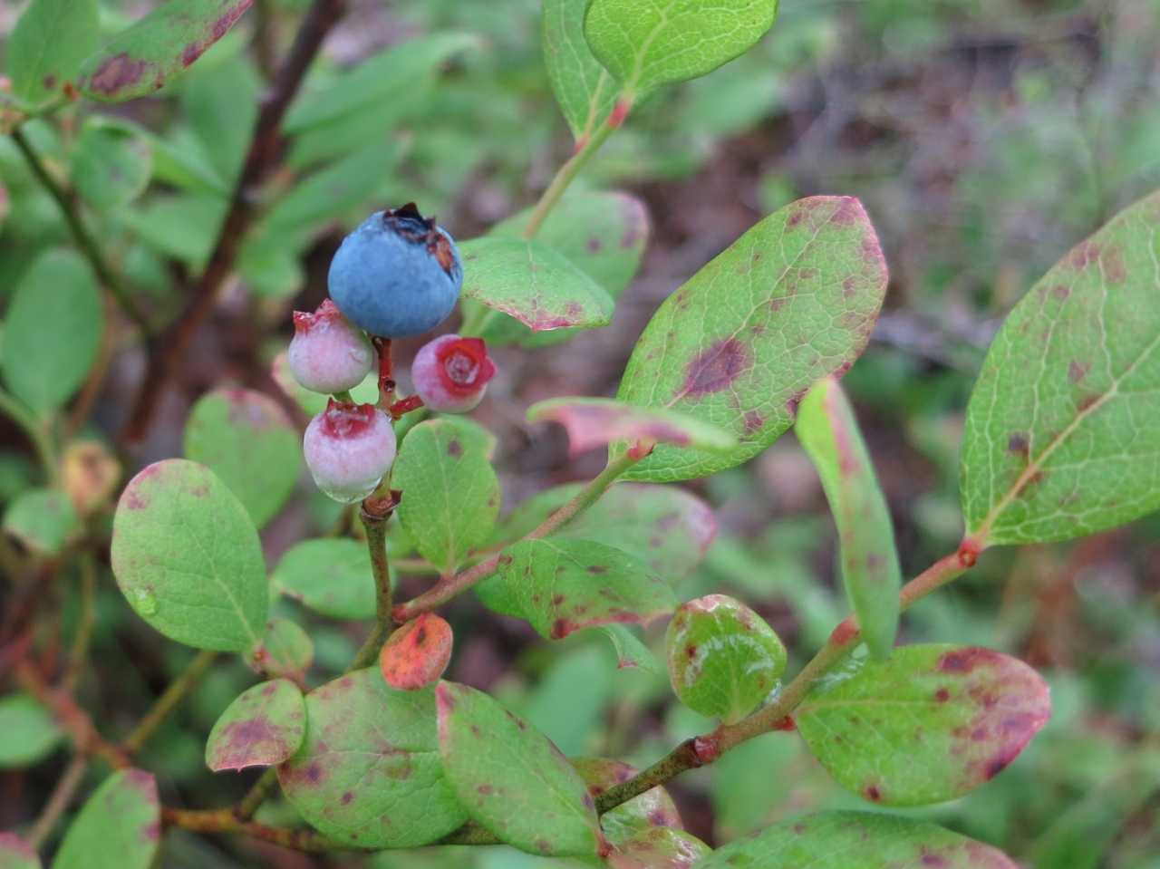
- Tasty berries were abundant on Rush Ridge
-
- King Branch Canyon

-

- King Branch Canyon
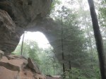
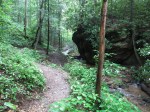
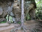
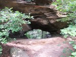
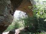
The next stop was Hidden Arch, a loop of less than 2 miles consisting of the Hidden Arch Trail and part of the Koomer Ridge Trail. This arch is a small one – you’d crawl through it rather than walk under it.
-

- Hidden Arch

-

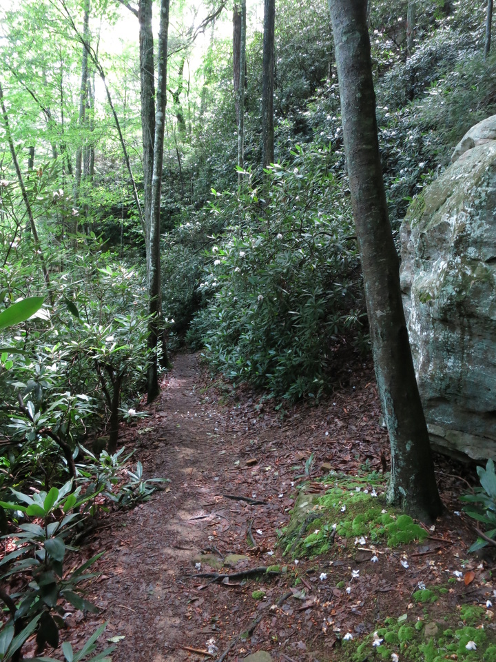
- The trail disappears into a tunnel of rhododendron
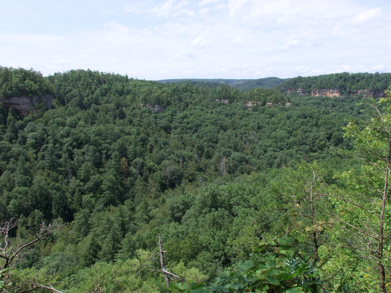
Next up was Chimney Top Rock. This 200′ tall formation offers some of the best views in the area. It’s at the end of a 0.3-mile nearly-flat paved path so it’s a very easy walk and a very popular destination. It can be crowded but I would still call it a must-see. Here’s a panorama:


The 0.3-mile natural surface trail to Princess Arch begins from the same parking lot as Chimney Top Rock’s. The arch is near the end where a loop leads over the arch and also below it.
-

- Princess Arch

-

- Princess Arch

-

- Princess Arch from the back side

Angel Windows is a double arch formation at the end of a 0.25 miles long trail. You can walk through the right arch onto a ledge where an unofficial path takes you around the head of a steep ravine.
-
- Angel Windows
-

- The ravine behind
-

- Eastern Red-spotted Newt ?

Whistling Arch didn’t whistle for me, perhaps due of a lack of wind.
-
- Whistling Arch

-

- Looking across the opening of Whistling Arch at the rest of the bluff

Sky Bridge is reported to be the most-photographed of the formations here and is another big one. The trail is paved for about 0.3 miles, then crosses the bridge and goes a short distance to an overlook area, doubles-back to follow the base of the bluff the arch is part of, then climbs some stairs back toward the parking area.
-
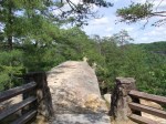
- The pavement stops, the trail continues over the bridge…

-
- …and along a rocky spine.


-

- Sky Bridge from below
-
- Sky Bridge from below

-

- The stone column technically makes this a double arch.

From the parking lot, there is a side road to the Sky Bridge Overlook but the trees near the bridge have grown to the point that they obscure the view from the overlook.
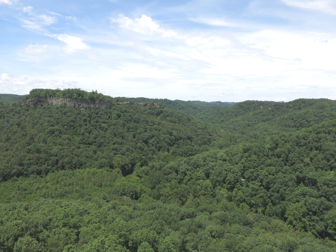
Devil’s Canyon Overlook is part of the same ridge from which Sky Bridge was formed and is just off the road on the way to Sky Bridge Recreation Area. It looks basically west across Devil’s Canyon and into the Red River Gorge.

Swift Creek Overlook is part of that same ridge and looks basically south across the Swift Creek drainage and into the Clifty Wilderness.

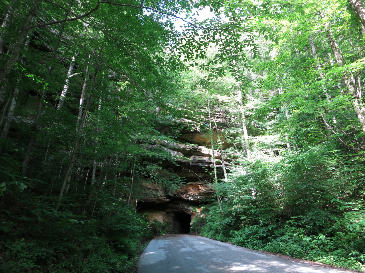
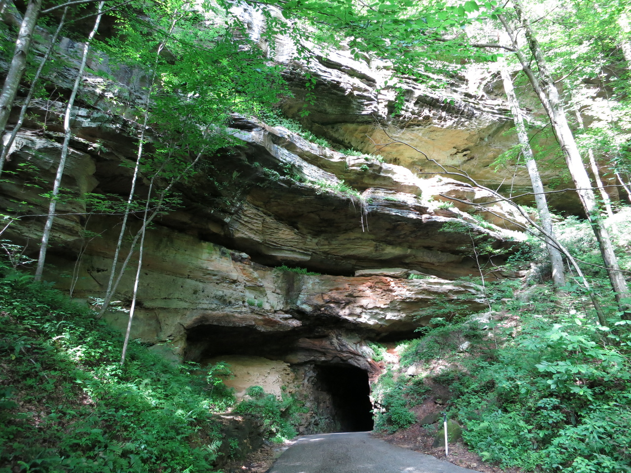
Nada Tunnel is a 900′ long 12’x12′ tunnel carved through a ridge in 1910 to provide access to the gorge by a logging railroad. It’s now used for automobile traffic on KY-77 (one direction at a time) and is rather eerie to drive through. Not only did I feel pretty closed-in, but the walls seemed to eat every photon from the headlights. I wonder what it’s like to drive through at night.

Tunnel Ridge Road follows the ridge over the tunnel and provides access to more trails and formations. I’ll visit that area if I ever get back here.
Backcountry camping is allowed in RRGGA (with a free permit) but it looks to me like it would be better to stay at a campground and day-hike the area if you’re not passing through on the Sheltowee Trace. This place is being loved to death, with many traces left. Despite signs everywhere saying camp sites must be 300′ from the trail, for instance, the short Gray’s Arch loop has more than 2 dozen worn-out sites right next to the trail. Fortunately, those are now roped-off and designated as restoration areas. Much of the terrain is so steep that it seems unlikely that you’ll just wander out in the woods and find a decent and legal camp site where you want to stop.
Useful resources:


